(click here to find The Port-au-Port Peninsula)
The Port-au-Port Peninsula presents another part of Newfoundland's history. The 161 km drive around the peninsula is also called the French Ancestor's Route. For centuries before 1904 this area was known as the French Shore. Until that year France had exclusive fishing rights in this area which they then relinquished. Many French place names remain as do people of French heritage. This area is designated as the only bilingual area in Newfoundland since 1971. The predominance of Roman Catholic churches on the peninsula is further testament to the influence of the French culture. Sadly, with the building of the Ernest Harmon Air Force Base at Stephenville during WW2, much of the language and traditions were lost as an English speaking economy was developed to support the base. At Boutte du Cap Park in Cape St. George, there is a beautiful granite memorial that commemorates the Acadian arrival in the area.
To reach the Peninsula you will exit The Trans Canada Highway at either Highway 460 or 490 for Stephenville. We recommend that you take 490. It takes you through Stephenville Crossing which is a pretty drive. It also takes you by the Stephenville airport, still operational, site of the original military base. Take note of all the military barracks and support housing that has been transformed into apartments and townhouses over the years.
Hwy 490 meets up with 460 which you will follow west to reach the peninsula. The Gravels (La Coupée) takes you across to the Port-au-Port Peninsula. Take your first left off the Gravels to stay on Route 460. Going clockwise around the peninsula provides you with the most scenic views.
(click photos to enlarge, click caption for mapped location)
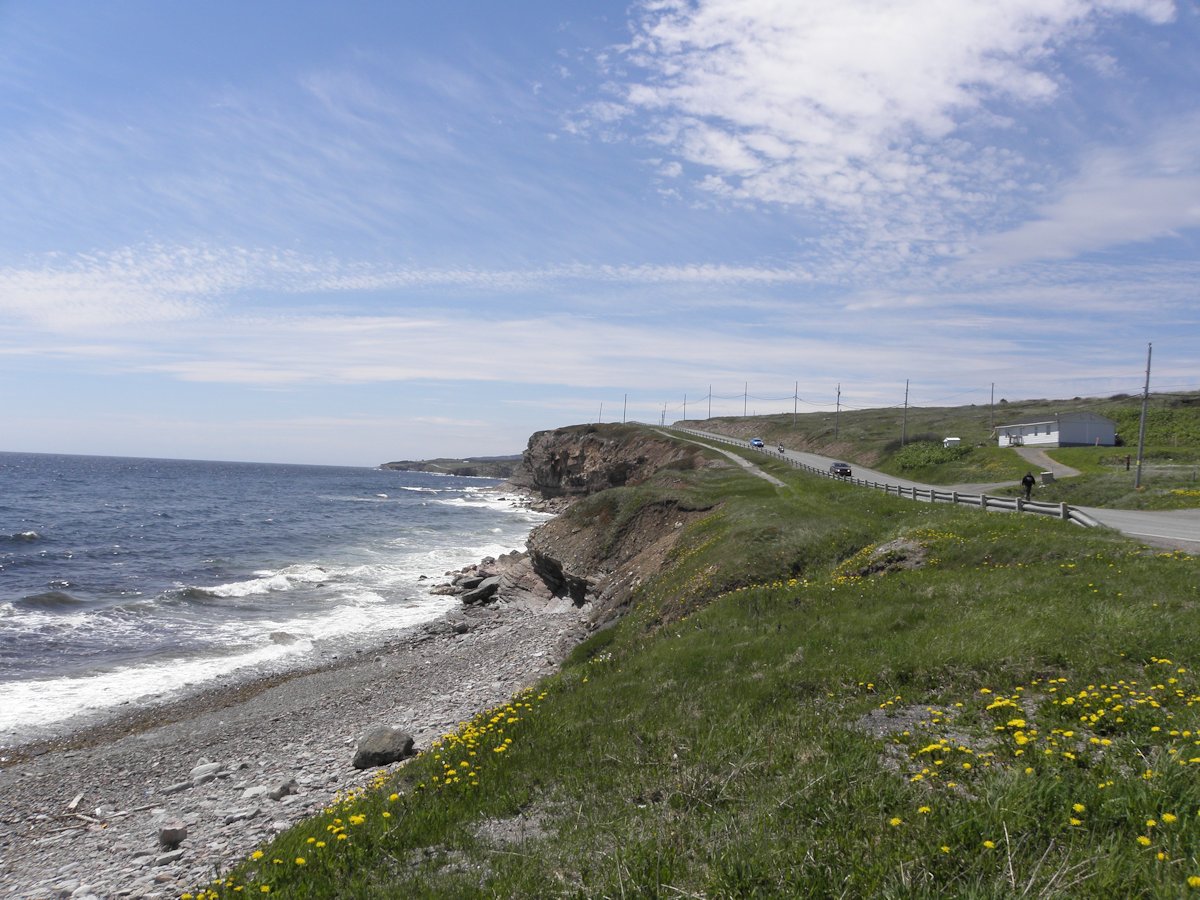
Driving along the coast, you will come to Felix Cove. The drive is very lovely, there is no such thing as a straight road around here! At Abrahams Cove you will come to a split in the road. Right takes you across the peninsula at this point along Route 463. You will want to stay left on Route 460. On your left you will pass Jerry's Nose Road which takes you to Jerry's Nose.
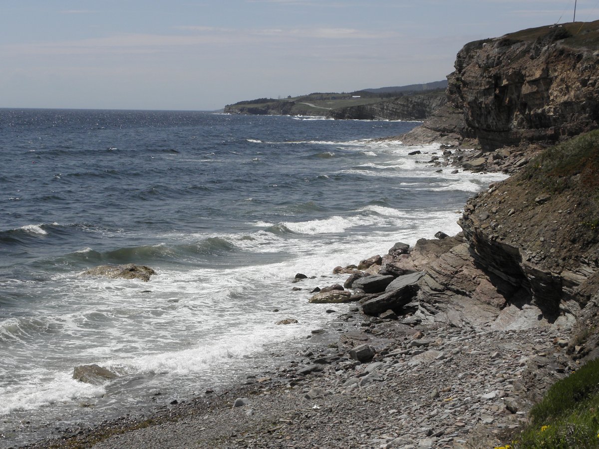
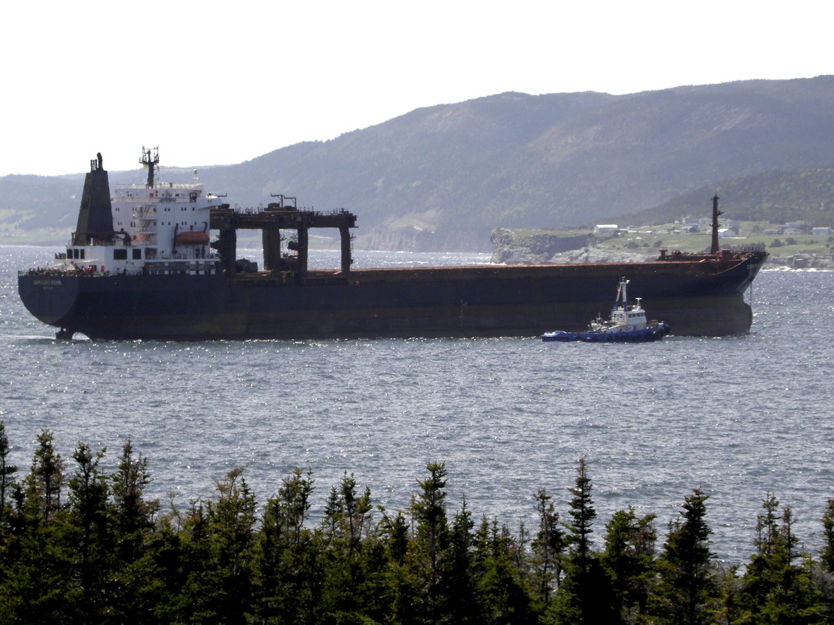
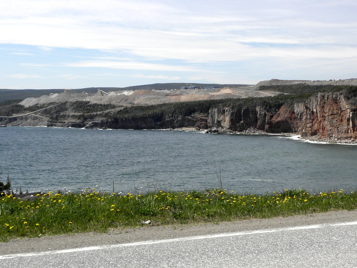
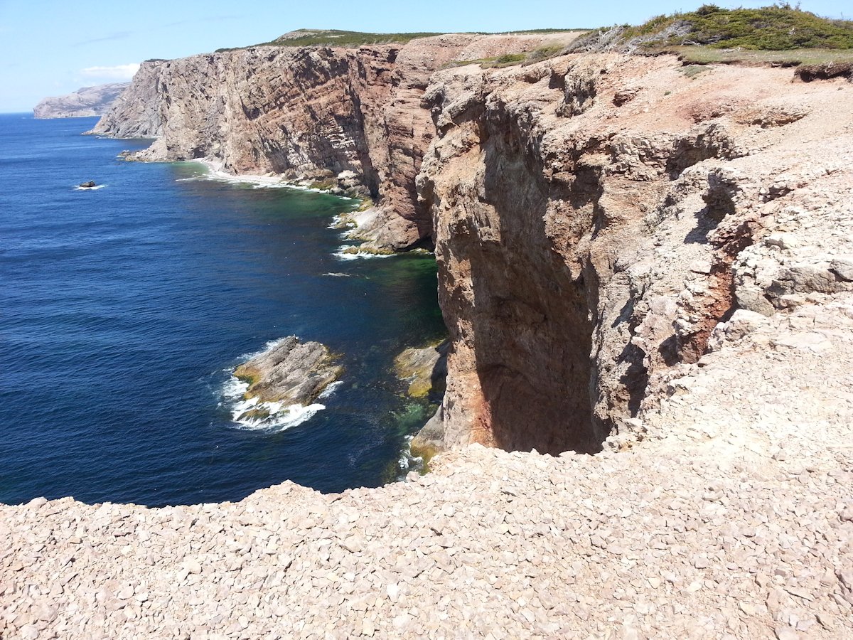
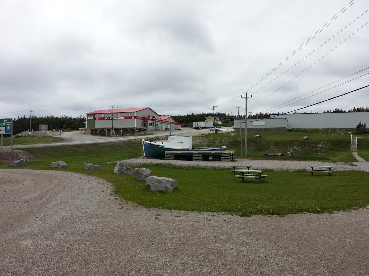
When you come to Lower Cove you cannot miss the Atlantic Minerals. Ships are in there a few times a day, depending on the weather, and you will see them on the water. What you see from the highway is the shipping facility. The actual open surface mines are north of this location about 4 km.
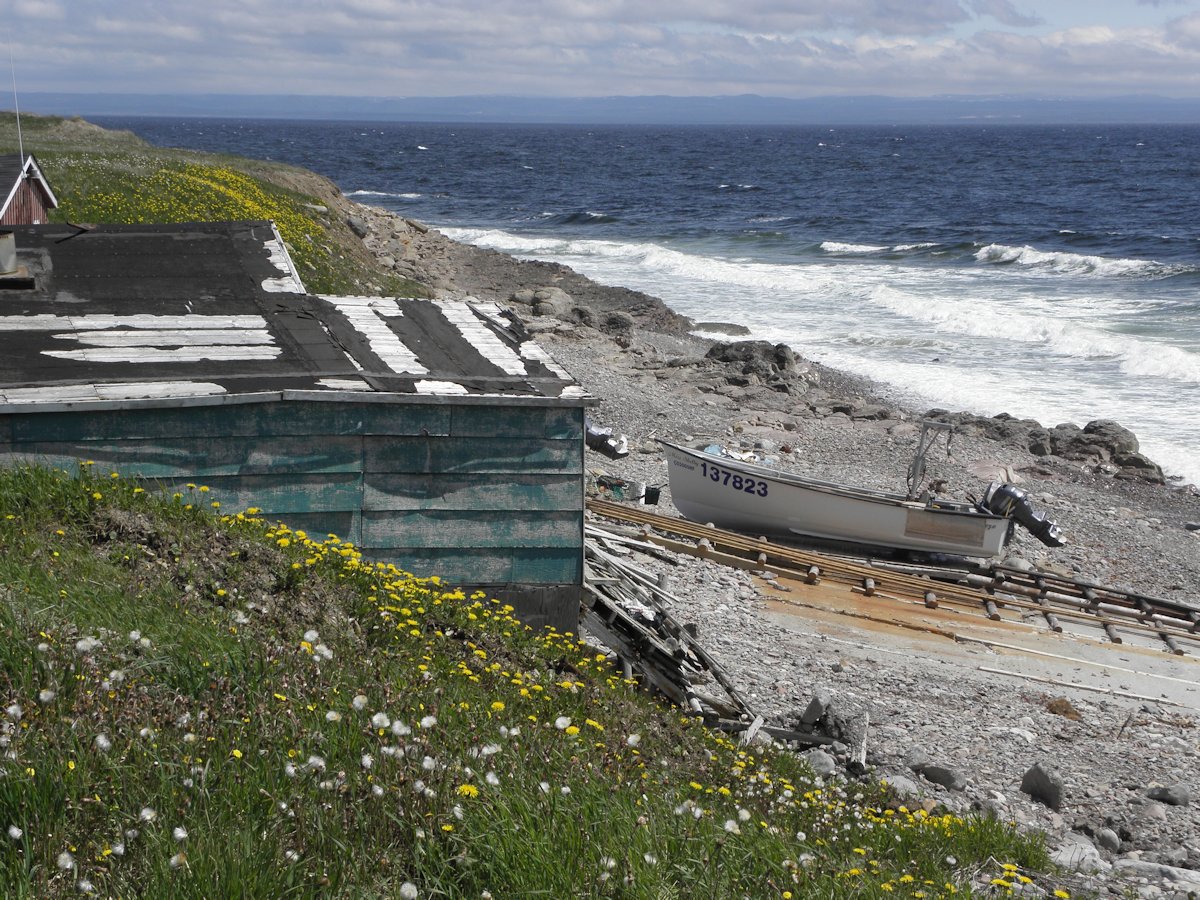
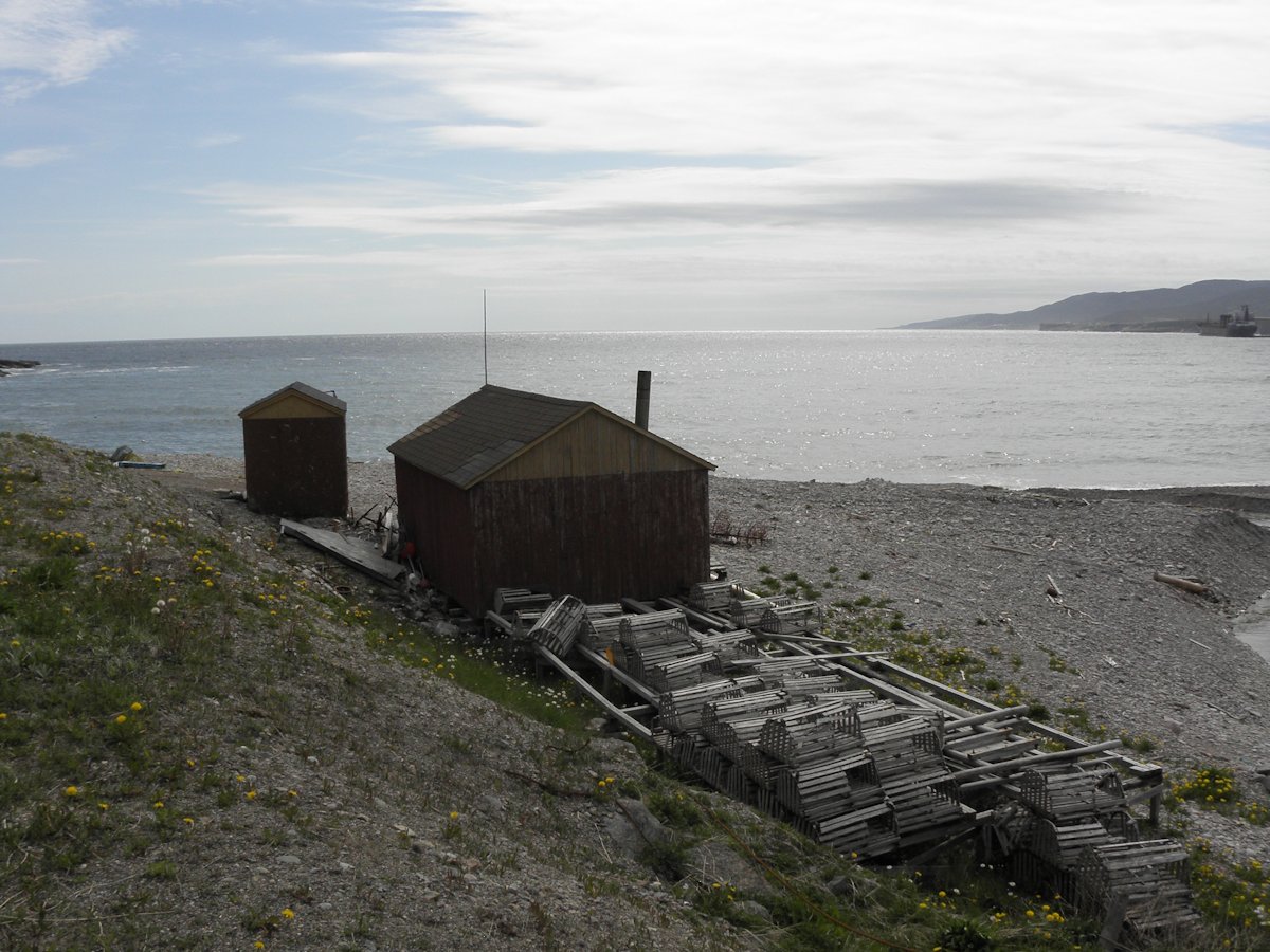
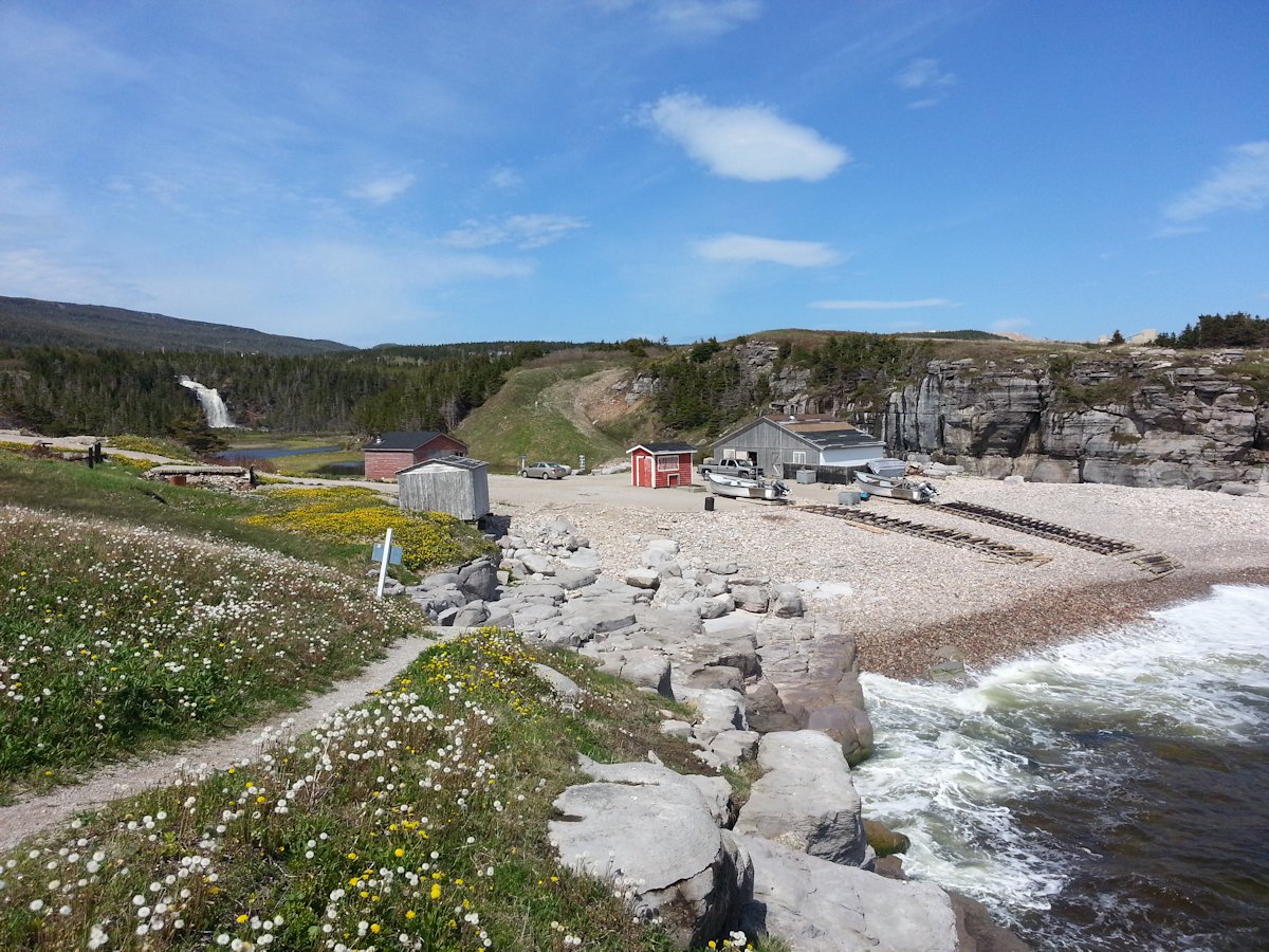
A few minutes later you will come to Sheaves Cove and Hidden Falls. Do not miss this. If the boats are in see if the men are in the shed. They are always willing to chat!
(click photos to enlarge, click caption for mapped location)
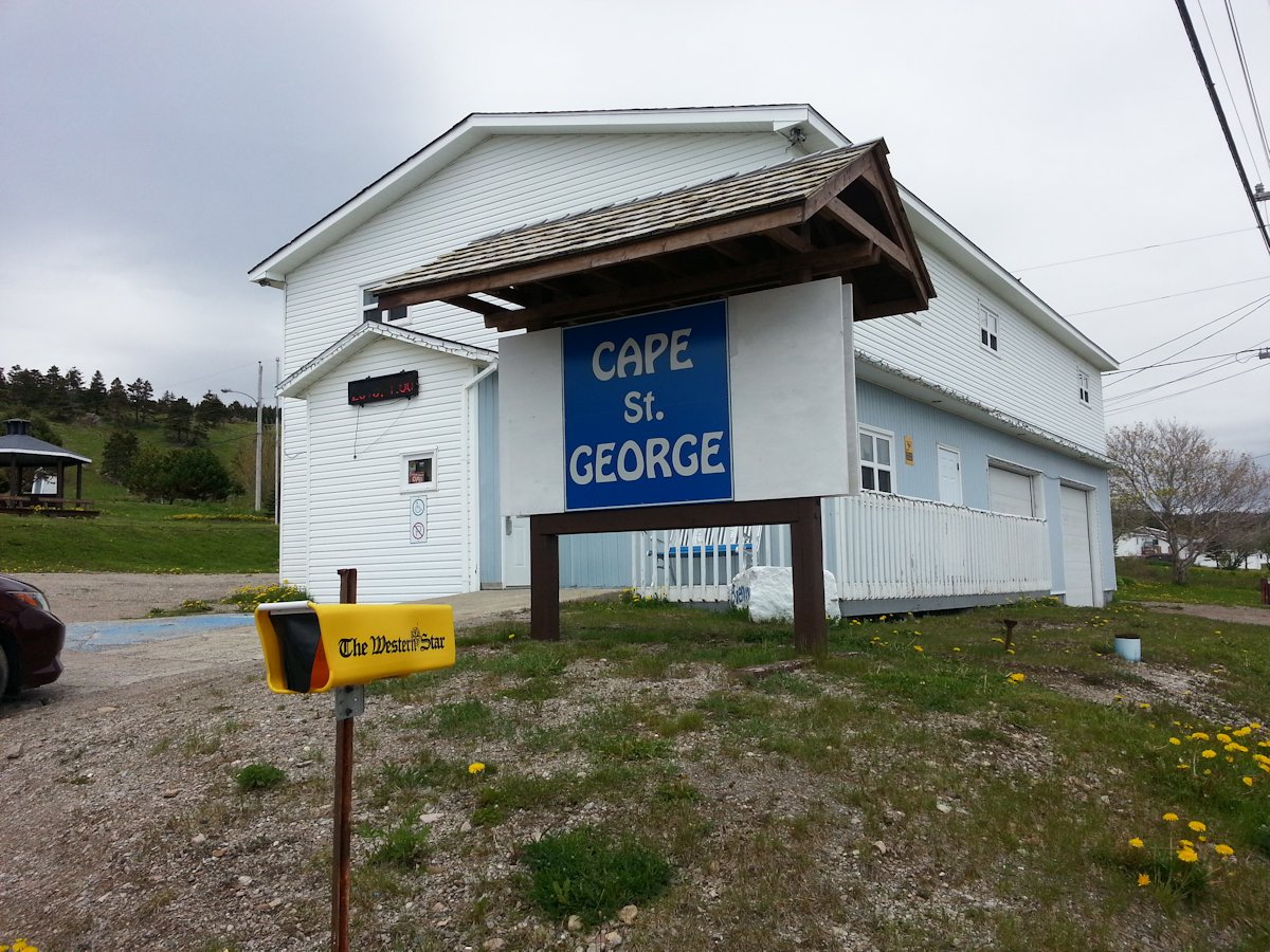
In Cape St. George the town hall / municipal offices also serve as the tourist information site. You will always find the friendliest people in the town offices, always helpful and informative. Even in the off season they are normally staffed during the week.
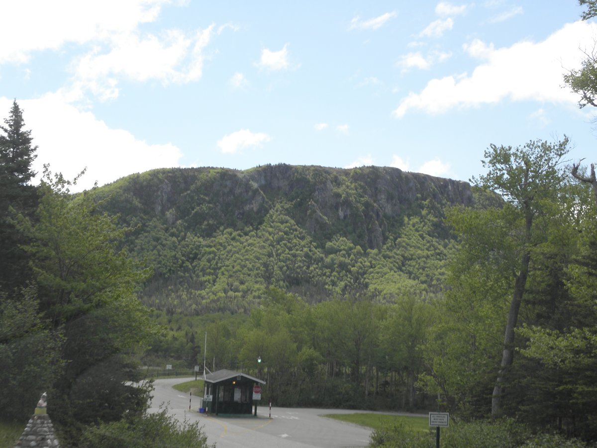
At the most easterly corner of the peninsula you will come to Boutte du Cap. Beautiful vistas, a bread oven that is operational in the summer, the Bread Crumb and Kittiwake Trails and a monument to the Acadians make for a nice hour or two.
(click photos to enlarge, click caption for mapped location)
Shortly after we left Boutte au Cap we literally stumbled upon the memorial site of a C-54 that crashed during the war with 12 lives lost. It was trying to reach the airforce base at Stephenville. It is a short hike back into the brush and woods. Remembering that there was no highway in this area at the time, and that it was winter, it is a miracle that 6 people did survive.
(click photos to enlarge, click caption for mapped location)

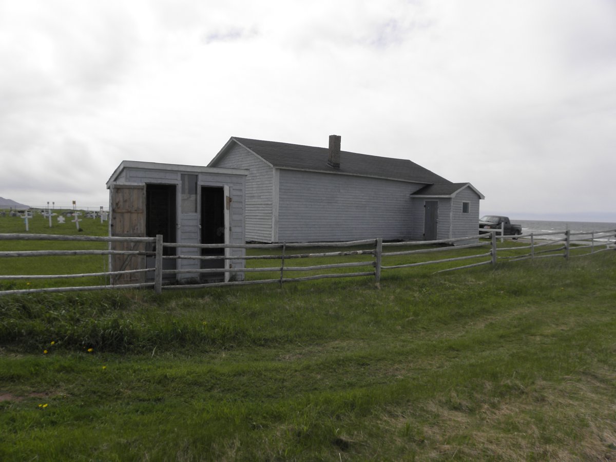
As you continue on Route 463 in a north easterly direction, you will come upon the community of Mainland (La Grand' Terre).. We were given a private tour of the tea house and of the old school house, named Our Sisters' Dream School. The entire community, originally led by two sisters, created this museum to tell the story of their community and the people who lived there. Once the sisters passed away the torch was taken up by other community members. A second room is loaded with artifacts and photos provided by the people in the area. There is also another bread oven on the site. In the tea house murals are being created showing the history of the area.
You continue on to Lourdes, a large community by peninsula standards. In 1987 to celebrate the 75th anniversary of Our Lady of Lourdes Parish a Grotto was built. Lourdes is also the point at which you can leave Route 463 and go northeast to visit Winter Houses and Black Duck Brook.
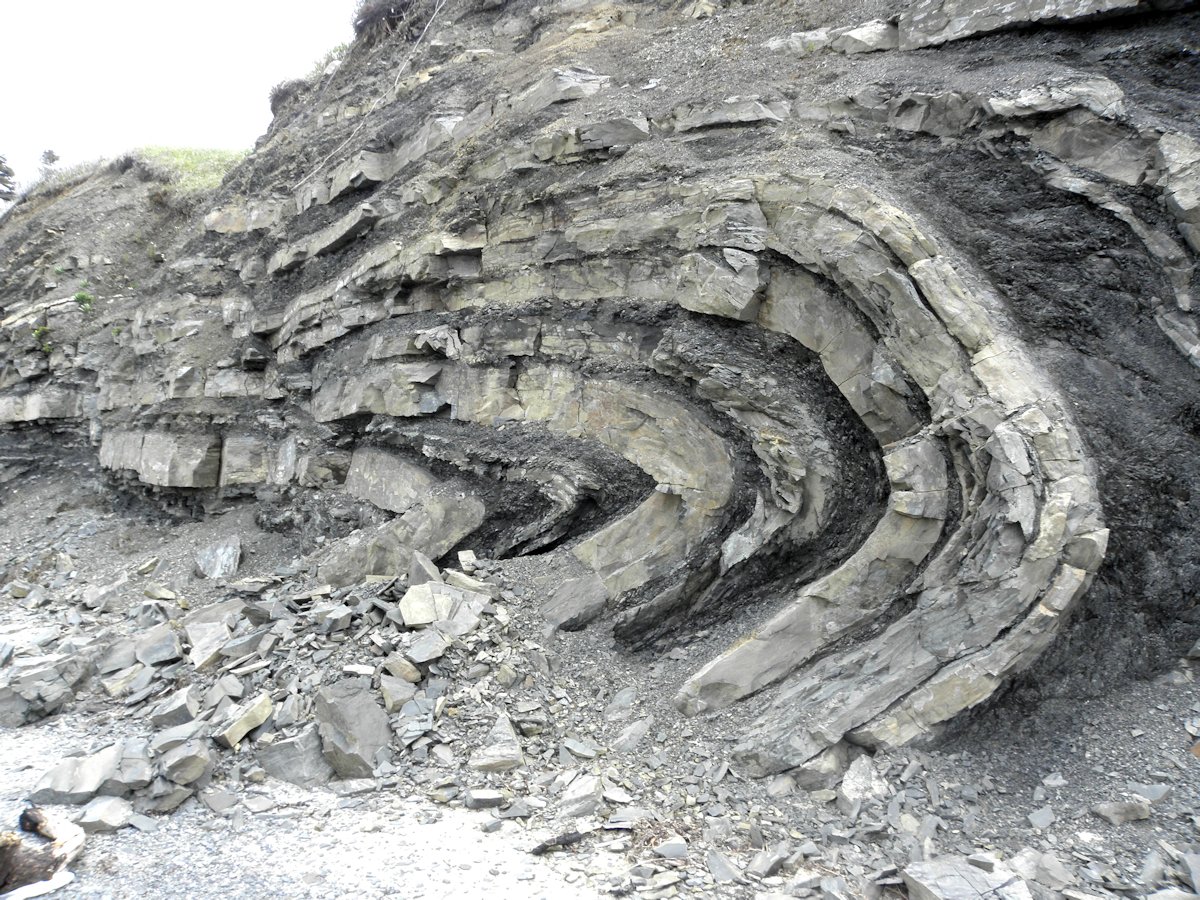
Staying on 463 you will come to the community of Piccadilly. Here you can find the Folded Rocks, Piccadilly Regional Park and Oliver's Restaurant. Continue on and you will complete the loop, meeting up with Route 460 just east of Atlantic Minerals.
(click photos to enlarge, click caption for mapped location)
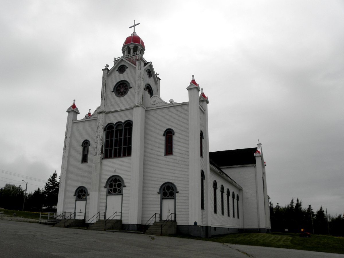
Shortly after you pass the Alpacas, now on your right, You will come to a road on your left called Father Joy's Road. Take this road north, and follow it around until you come to Our Lady Of Mercy Church. The street name will have changed to Main Street. Big doesn't begin to describe this church. It is one of Newfoundland's oldest and largest wooden buildings. Since we were there in June the museum next to it was closed but just wandering around was amazing. The church overlooks East Bay.
Continue down the road. As the Gravels comes into view you will see a parking lot ahead on your left, at the start of the Gravels. This is for the Gravels Walking Trails. The trail takes you along the coast, characterized by the stunted tree growth due to constant winds. The trail is well kept and easy to use. There is even a branch of the trail that takes you up to Our Lady Of Mercy Church
(click photos to enlarge, click caption for mapped location)
Cross the Gravels and turn left onto Route 462. It is a nice drive to the communities of Point au Mal and Fox Island River. As you return on the same route Our Lady of Mercy Church stands out like a beacon.
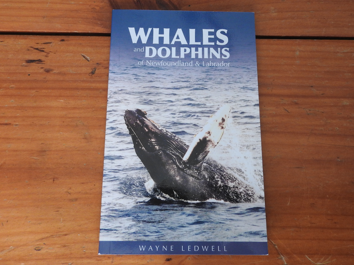
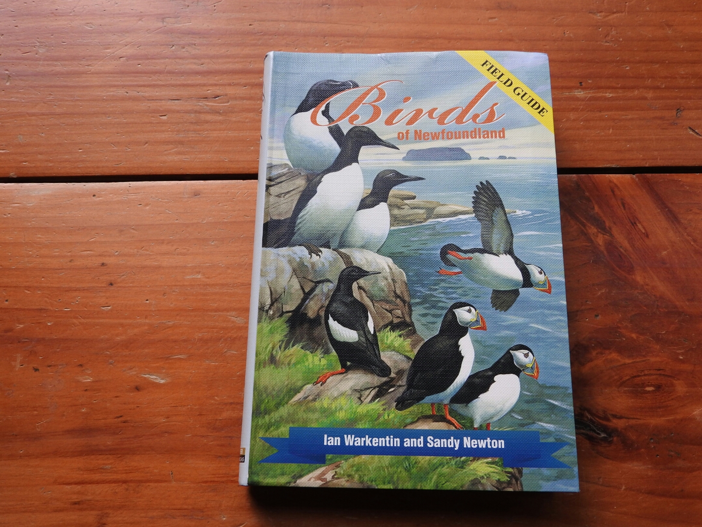
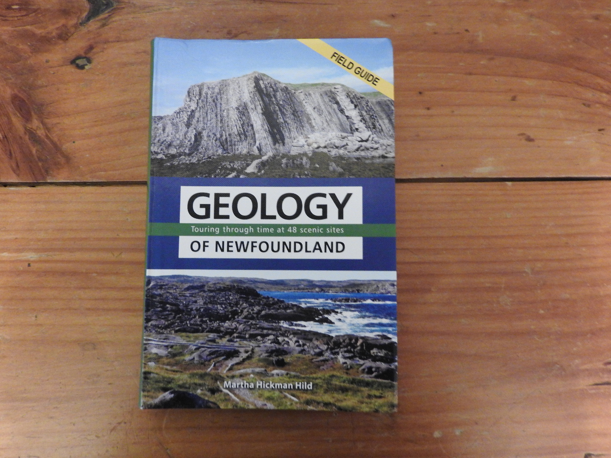
Before you head to Newfoundland, you may want to consider one or more of the great field guides that are available. We have done short reviews of the following:
Newfoundland books available from Amazon.ca (Canada)
Newfoundland books available from Amazon.com (USA)