(click here to find Cape St. George on the map)
Cape St. George is at the western tip of the Port au Port Peninsula. The circular route around the Port au Port Peninsula is one of the nicest drives in Newfoundland. Locals recommend that you do the circle in a clockwise direction. To do this, just follow the signs for Cape St. George. You'll be driving west along the north shore of St. George's Bay. On a clear day you can see the Long Range Mountains across the bay. The road has one great view after another of sea cliffs.
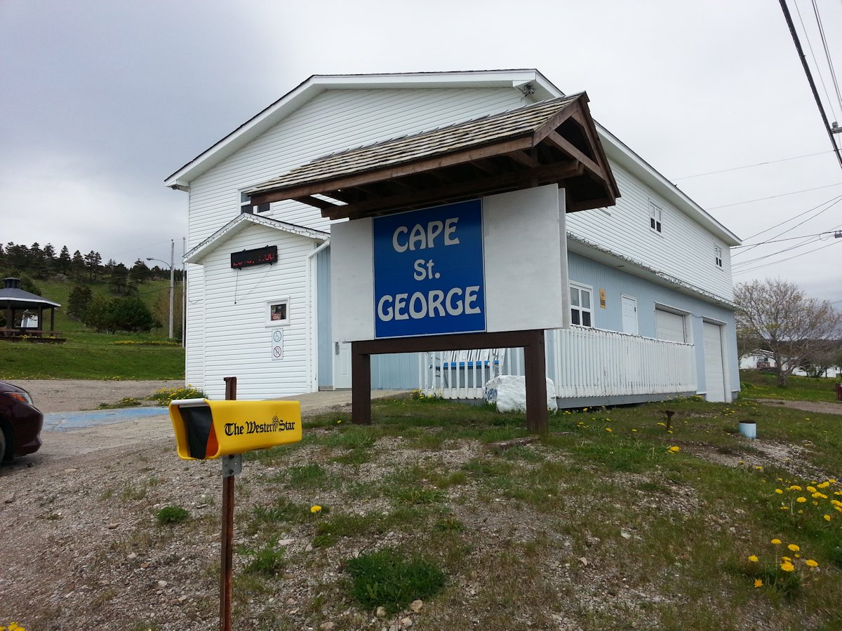
As you come into the town of Cape St. George you'll see the town hall and tourist information office on the right. They have the tourist information right in the town hall, which is nice, because it's open in off-season (June). As with every town hall we've dropped into, you'll find friendly people and a washroom they'll let you use.
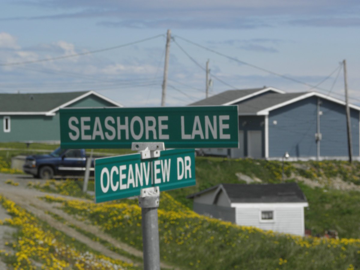
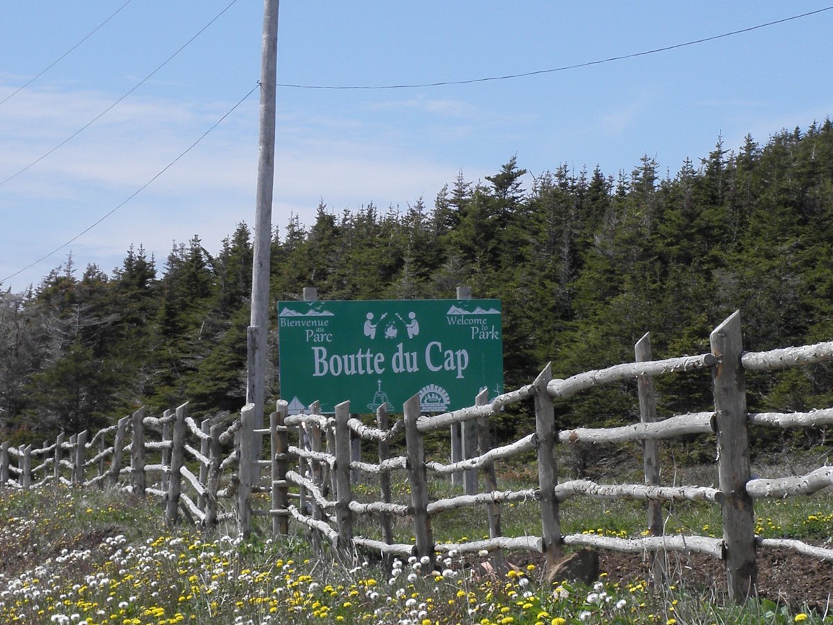
In Cape St. George, Highway 460 is called Oceanview Drive. All the main attractions to see are in Boutte du Cap Park, which is west of the town hall. You need to watch for Seashore Lane. There are no signs directing you to the park. Turn left and after you've gone down the road a bit, you'll see the park sign. If you miss the turn, you'll be on your way to the next town, Mainland.
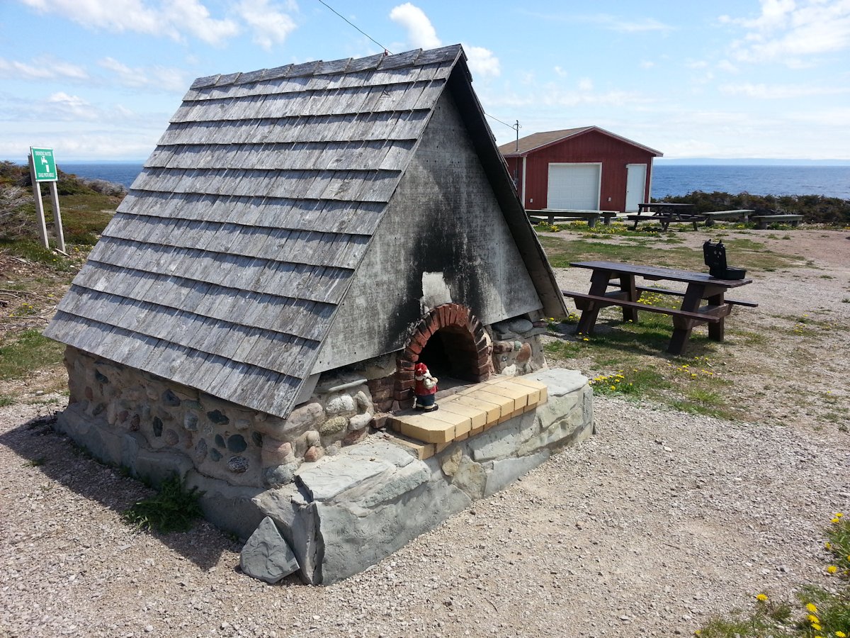
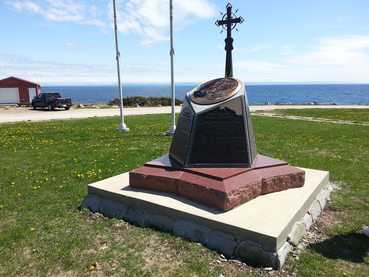
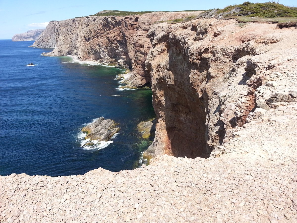
When you enter the park you'll see a circle with the Acadian Memorial and the bread oven. There's also a trail here, called the Bread Crumb Trail. There are some incredible sea cliffs, just behind the bread oven.
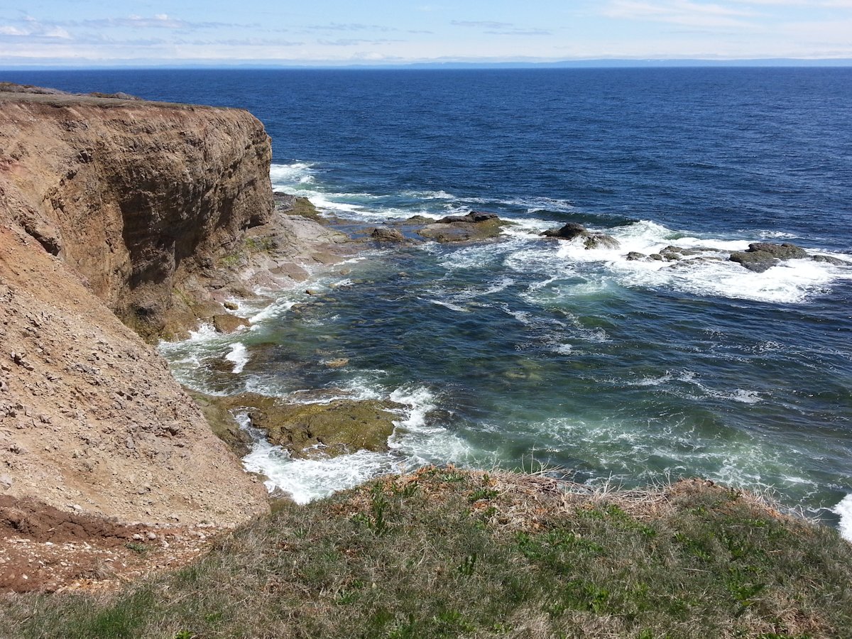
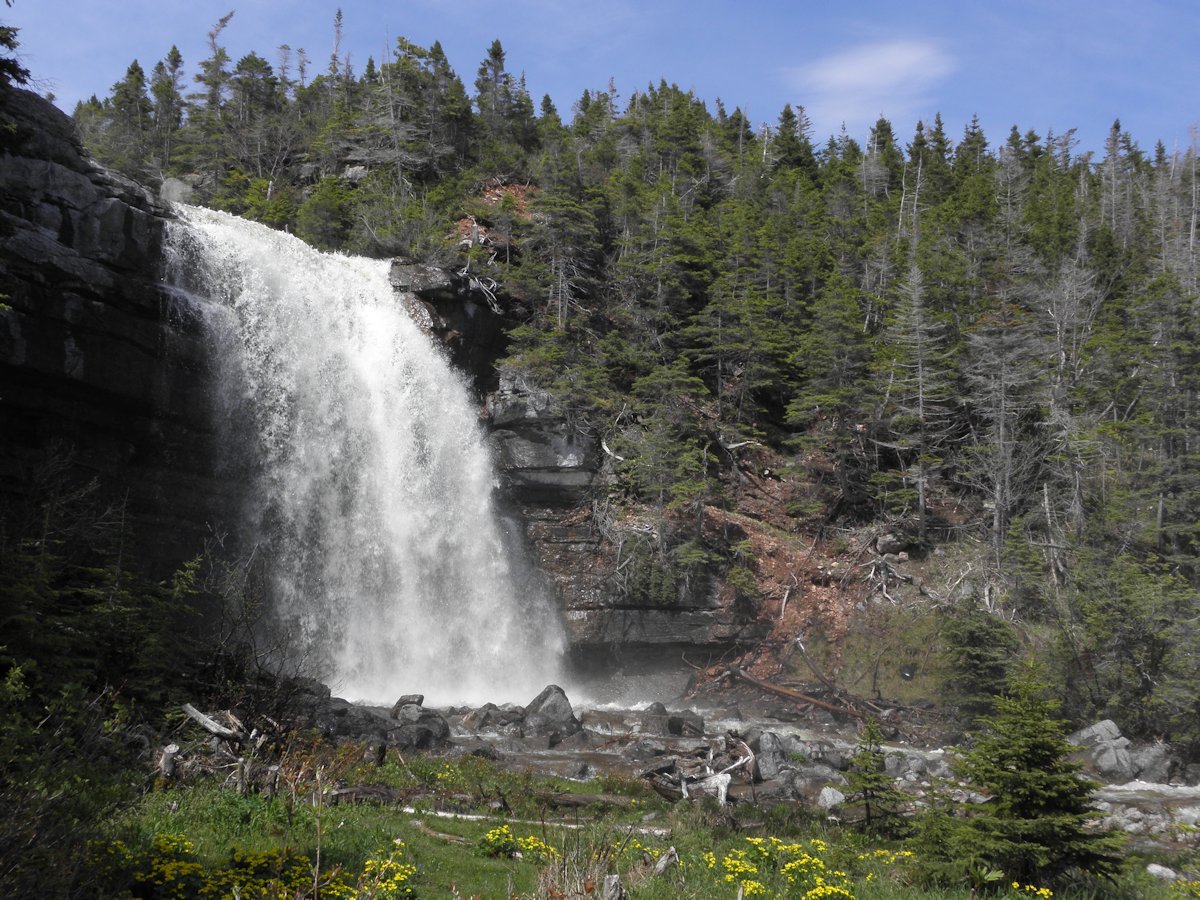
The park continues past this. Just continue to follow the gravel road. The cliffs on the Gulf of St. Lawrence side are quite a bit higher and even more spectacular. You can either hike or drive up to a higher elevation. This is one of the prettiest places you'll visit and photography cannot do it justice.
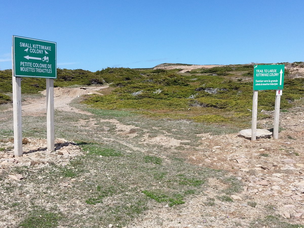
At the end of the road there are signs marking the trailheads to see the two Kittiwake colonies in the park. These are the largest colonies in Western Newfoundland.
(click photos to enlarge, click caption for mapped location)
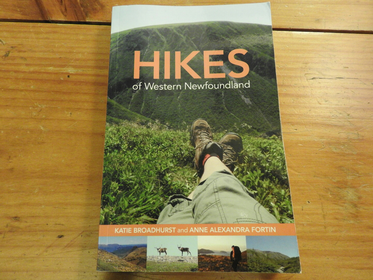
Hikes of Western Newfoundland by Katie Broadhurst and Alexandra Fortin is an excellent guide if you like to do trails. The book covers Western and Central Newfoundland as far east as Twillingate. They don't cover every trail, that's almost impossible. You'll find information on a good range of trails that you should consider.
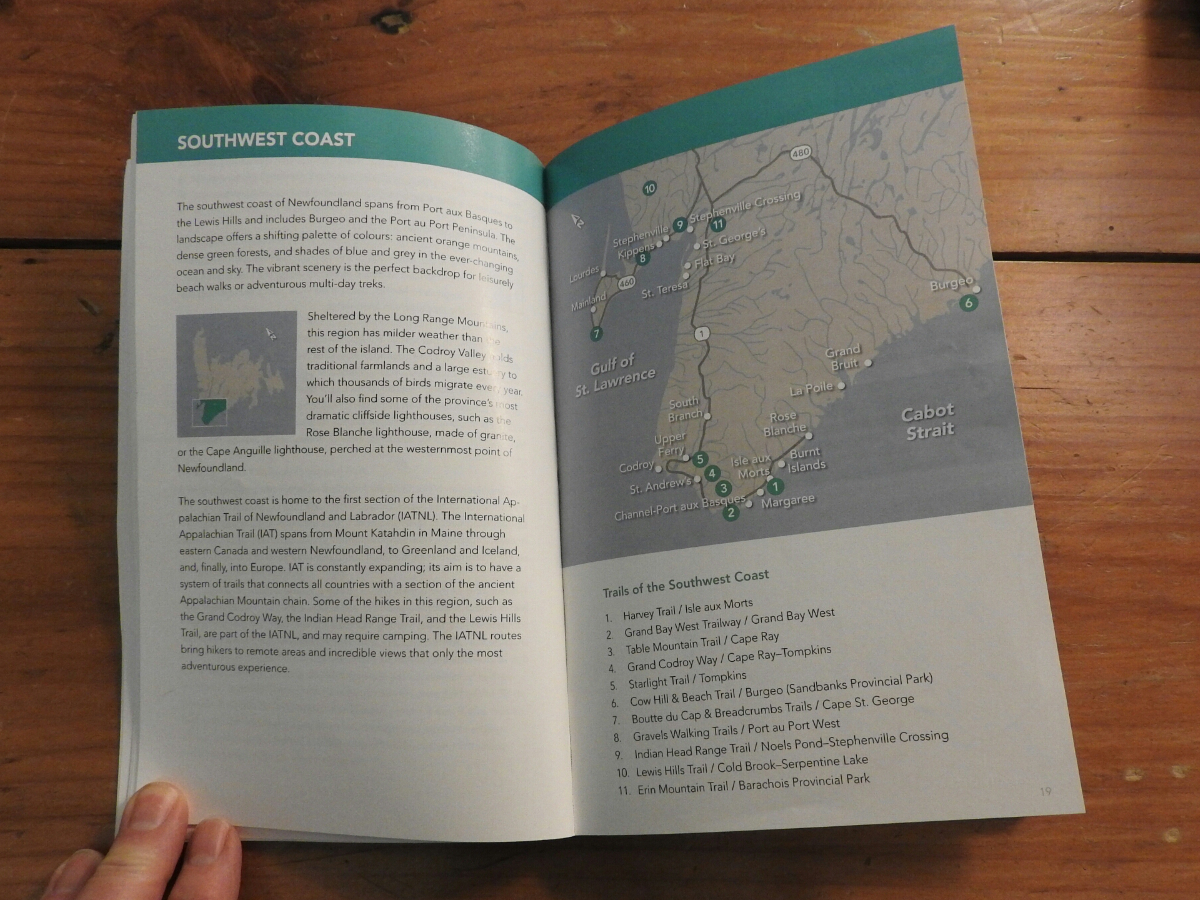
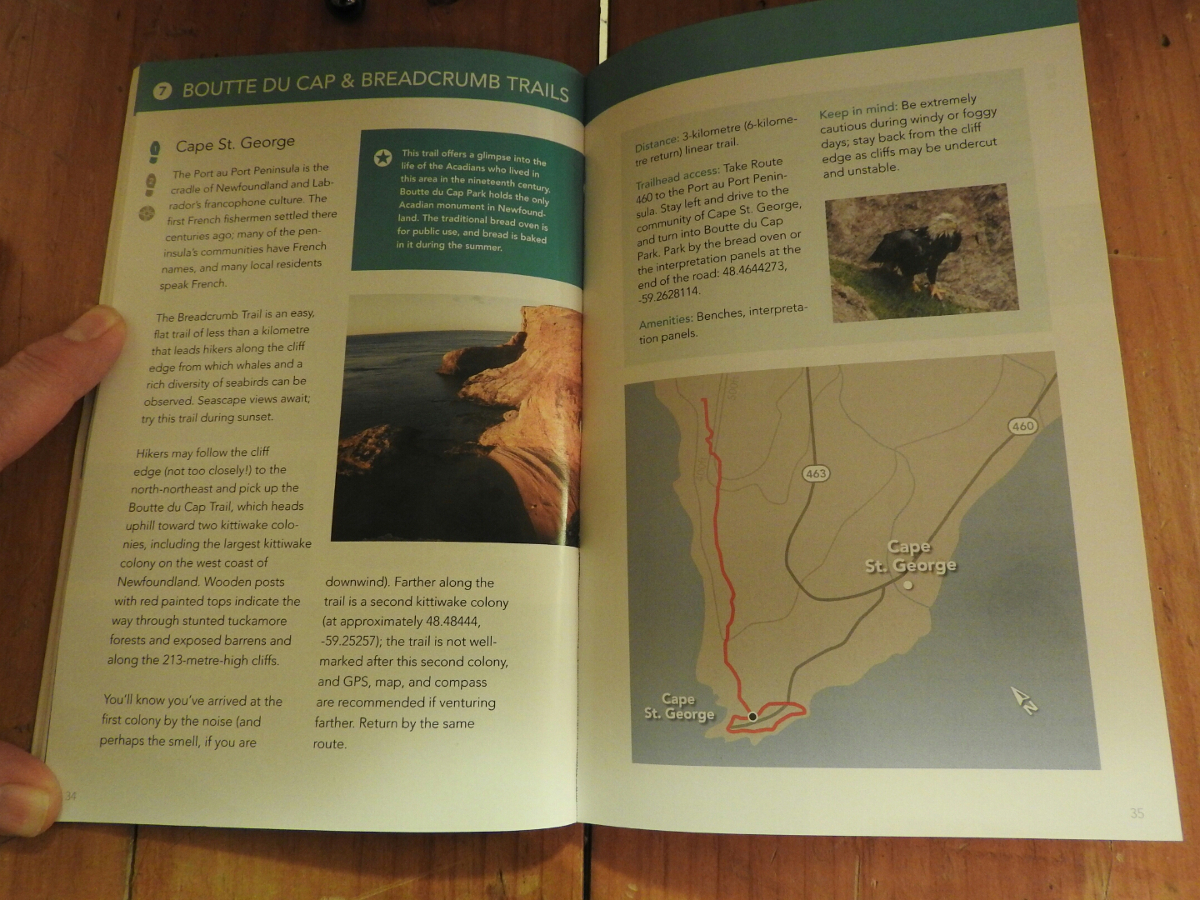
You start with the area map where they show the trails that are covered by the book. The pages about each trail include GPS co-ordinates of the trailhead and a good map of the trail. They also tell you the level of difficulty and distances.
We bought a copy ahead of our June 2015 trip to scout out the trails we wanted to do ahead of time. The book is available on Amazon and you can purchase it through this link.

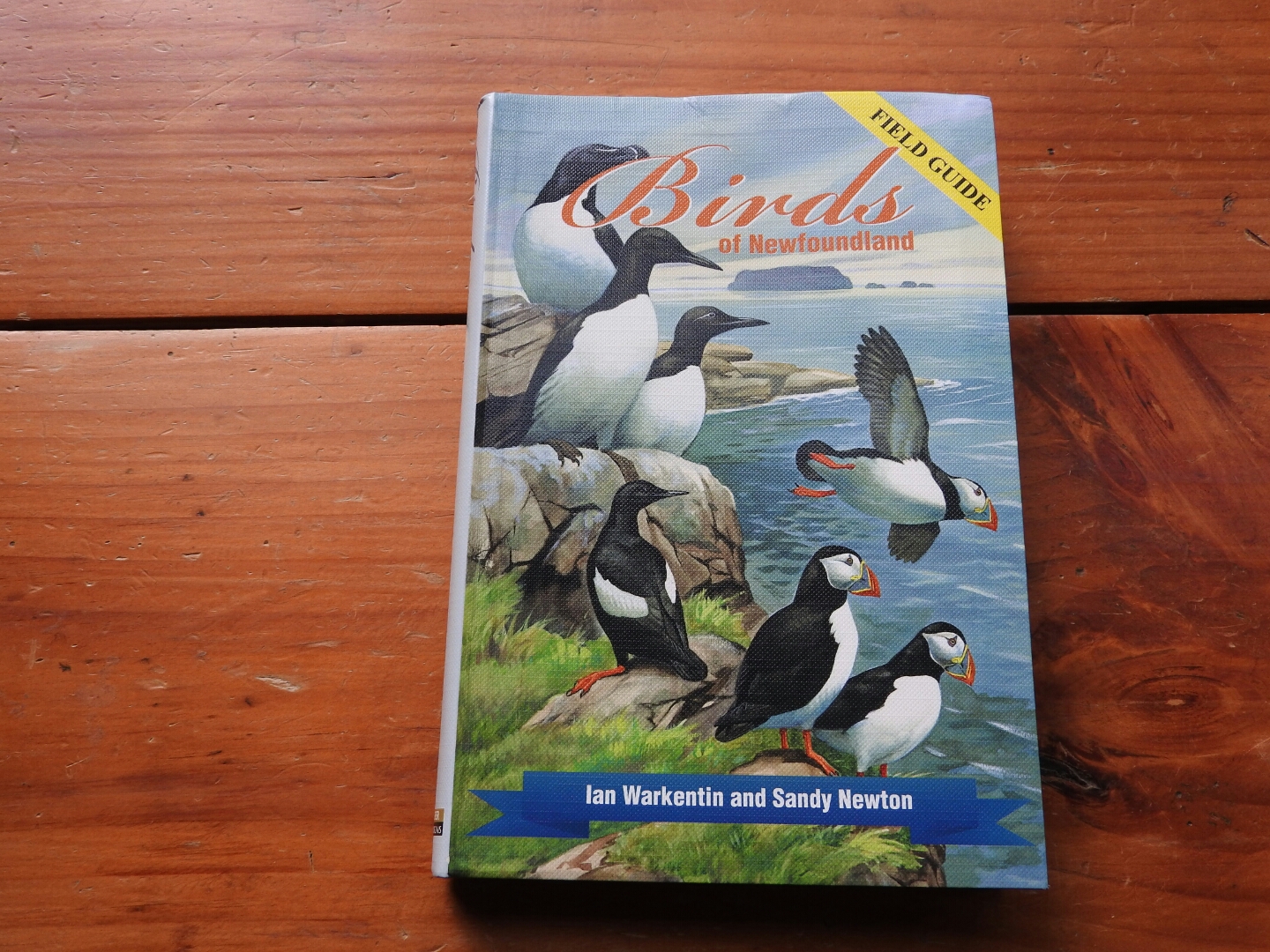
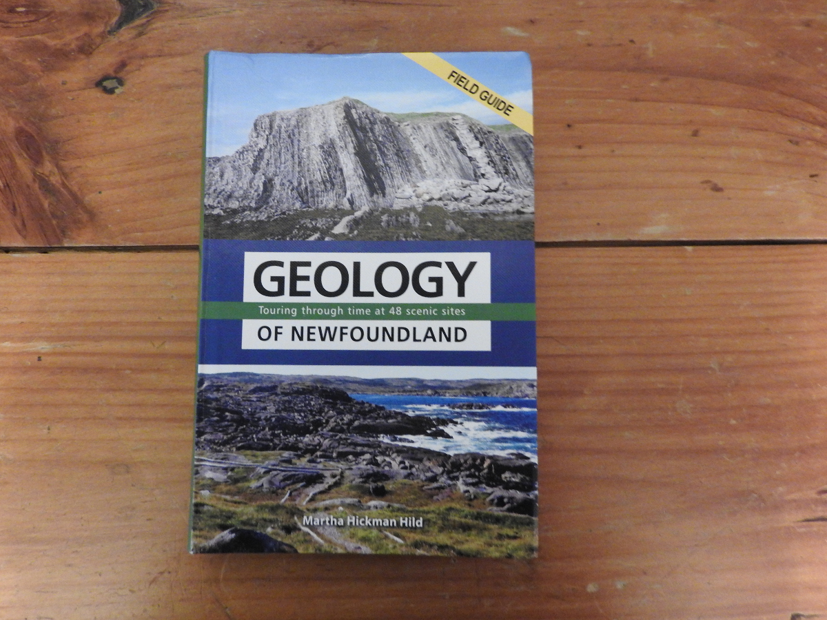
Before you head to Newfoundland, you may want to consider one or more of the great field guides that are available. We have done short reviews of the following: