(click here to find Western Brook on the map)
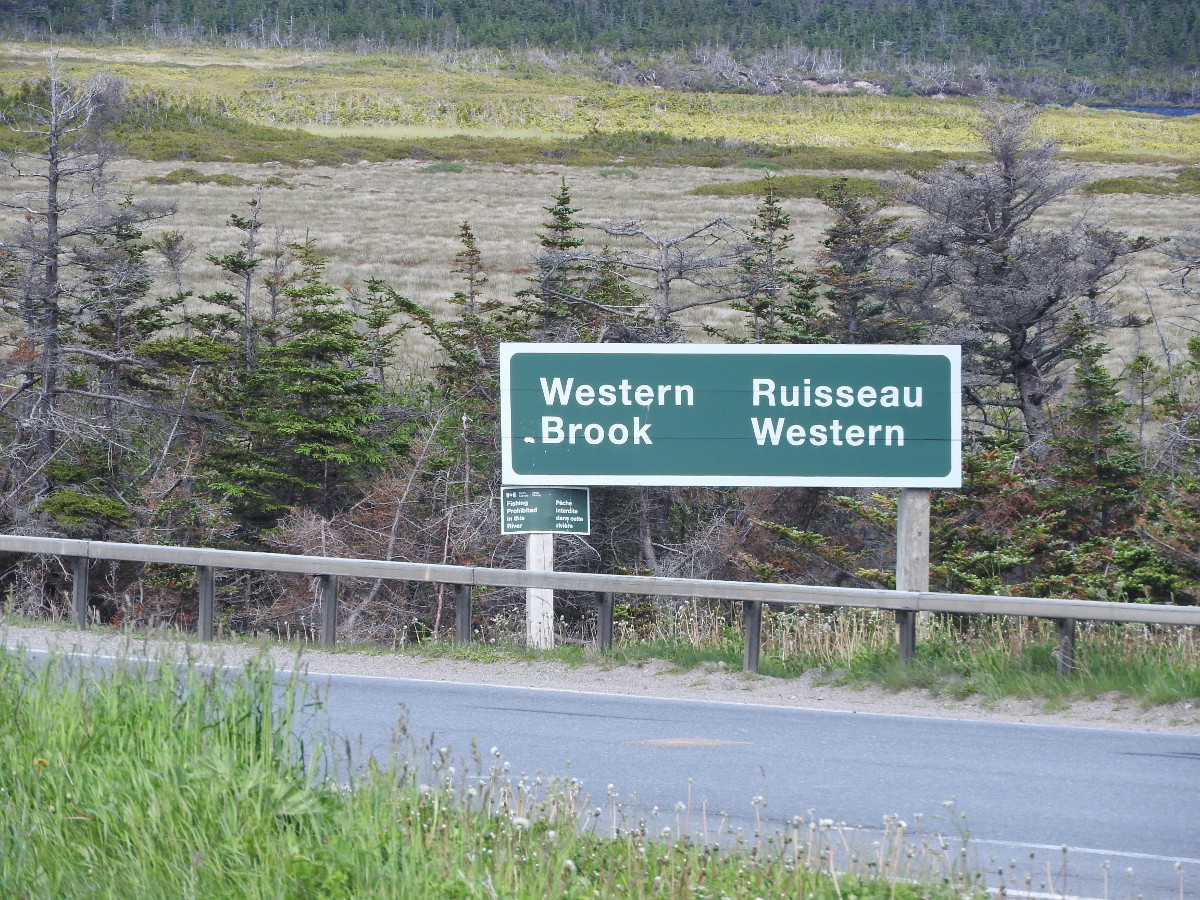
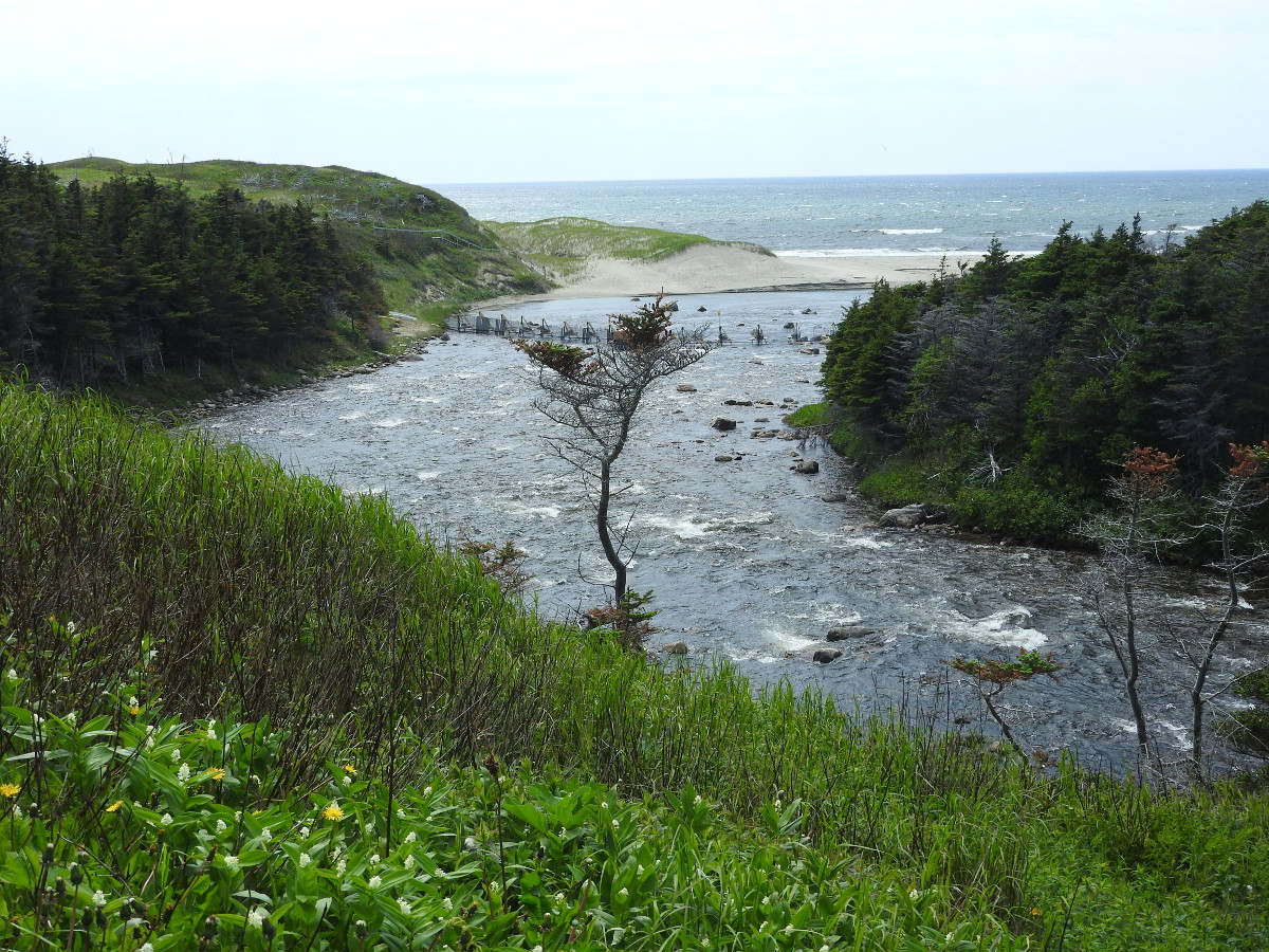
Western Brook, not to be confused with Western Brook Pond, is on Route 430 (The Viking Trail) just a few km north of the parking area for the Western Brook Pond boat tour. Western Brook is a small river that connects Western Brook Pond to the Gulf of St. Lawrence. If you were paying attention on the boat tour, you'd know it takes 15 years for the water to completely change in Western Brook Pond. The brook carries a very small amount compared to the size of the fjord.
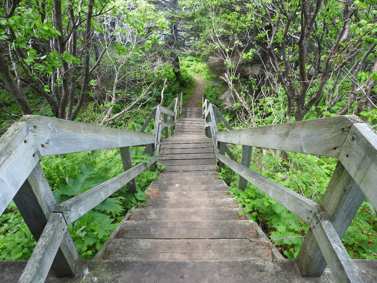
Western Brook is well marked by a road sign and a parking area on the west side of the highway. Once you park, you can walk through a grassy picnic area to see the brook. If you walk back towards the highway, you'll see a trail that takes you to the mouth of the brook.
(click photos to enlarge)
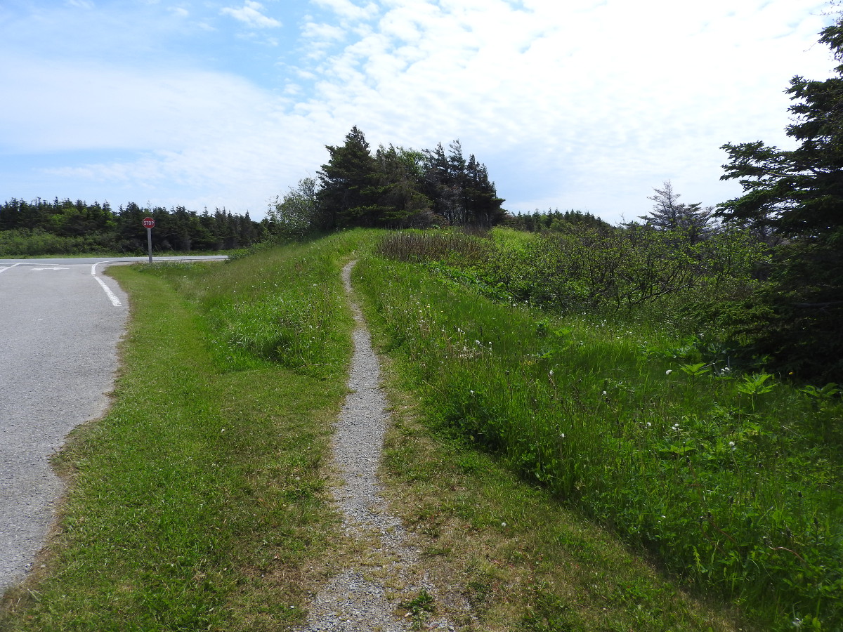
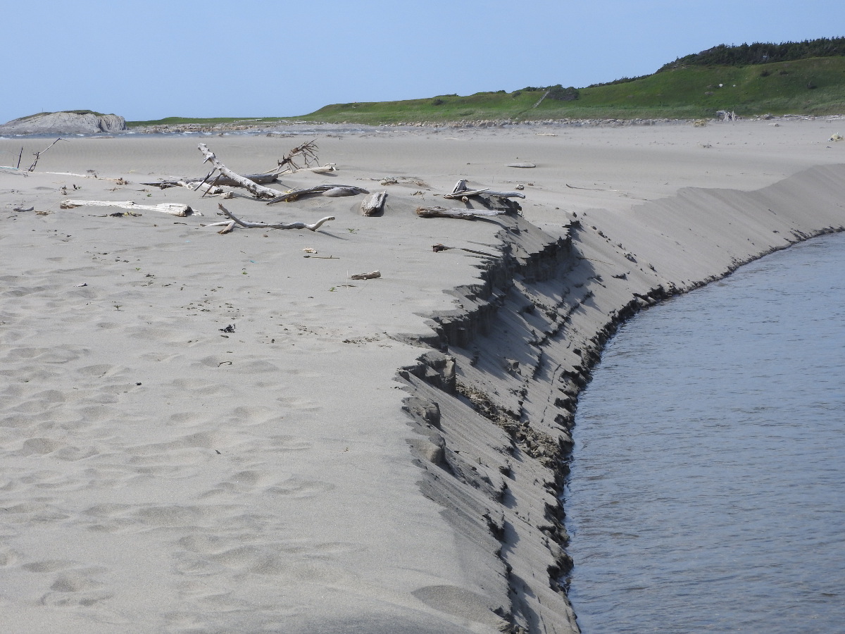
As you go along the trail you'll see cow parsnip. It's an invasive plant that's related to hog weed, but not as noxious. The trail takes you out to a sandy beach and a great view of the sand dunes. This is one of four places along the west coast with extensive dunes. The others are J.T. Cheeseman Provincial Park, Cow Head and Portland Creek.
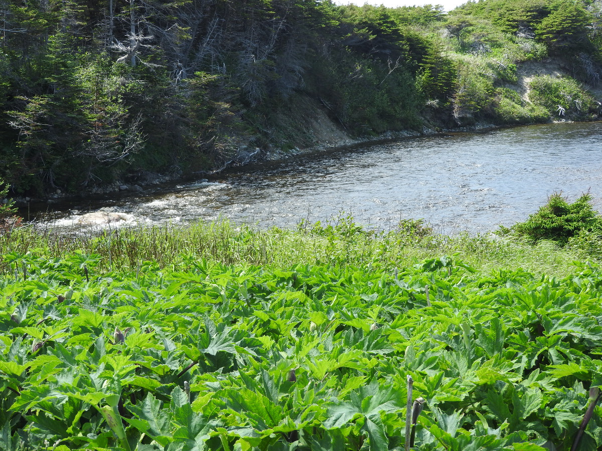
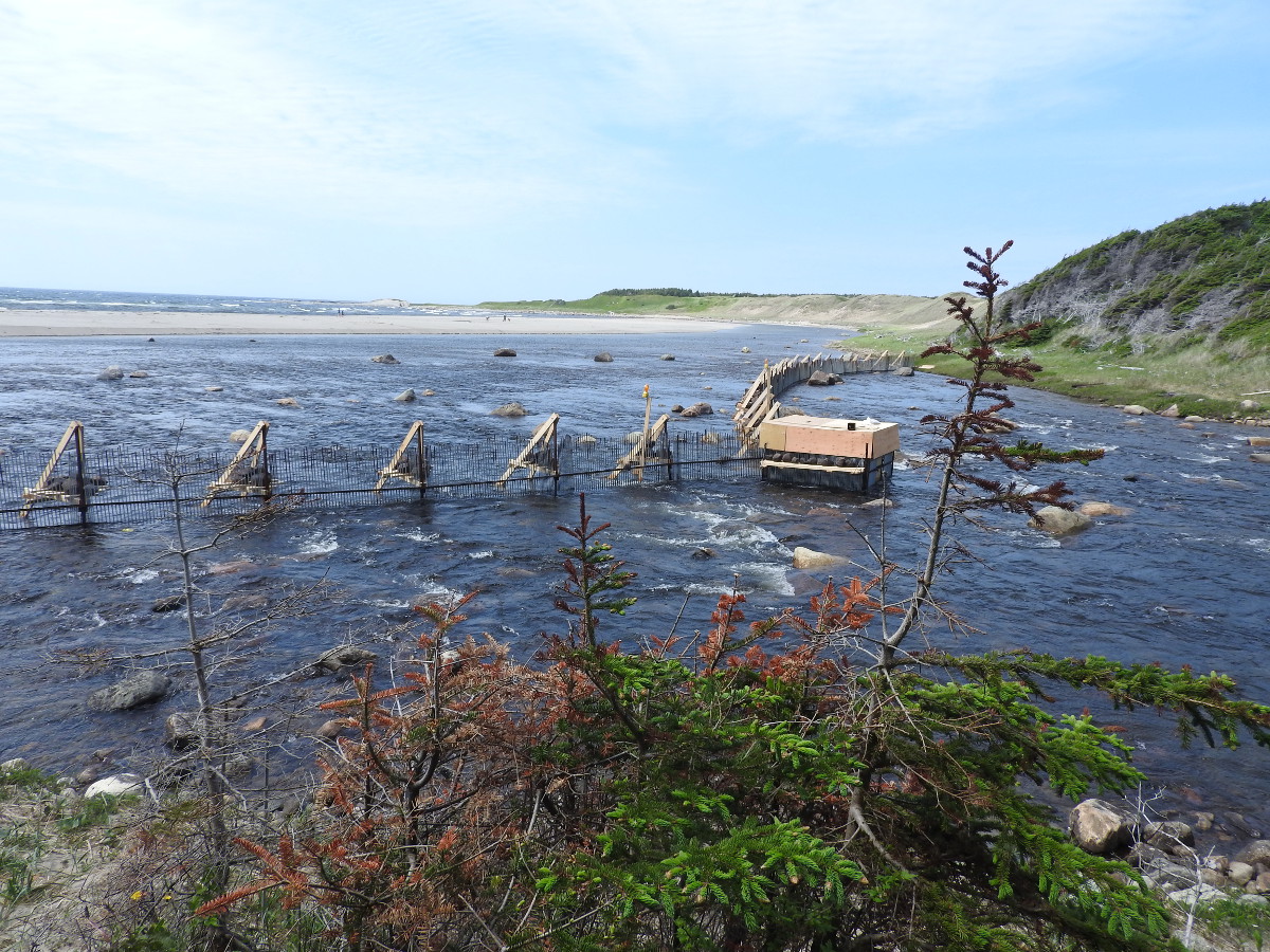
They have a fence built across the mouth of the brook. We have no idea what it's for. I did not see any interpretive signs giving an explanation. I assume it's to control fish migration.
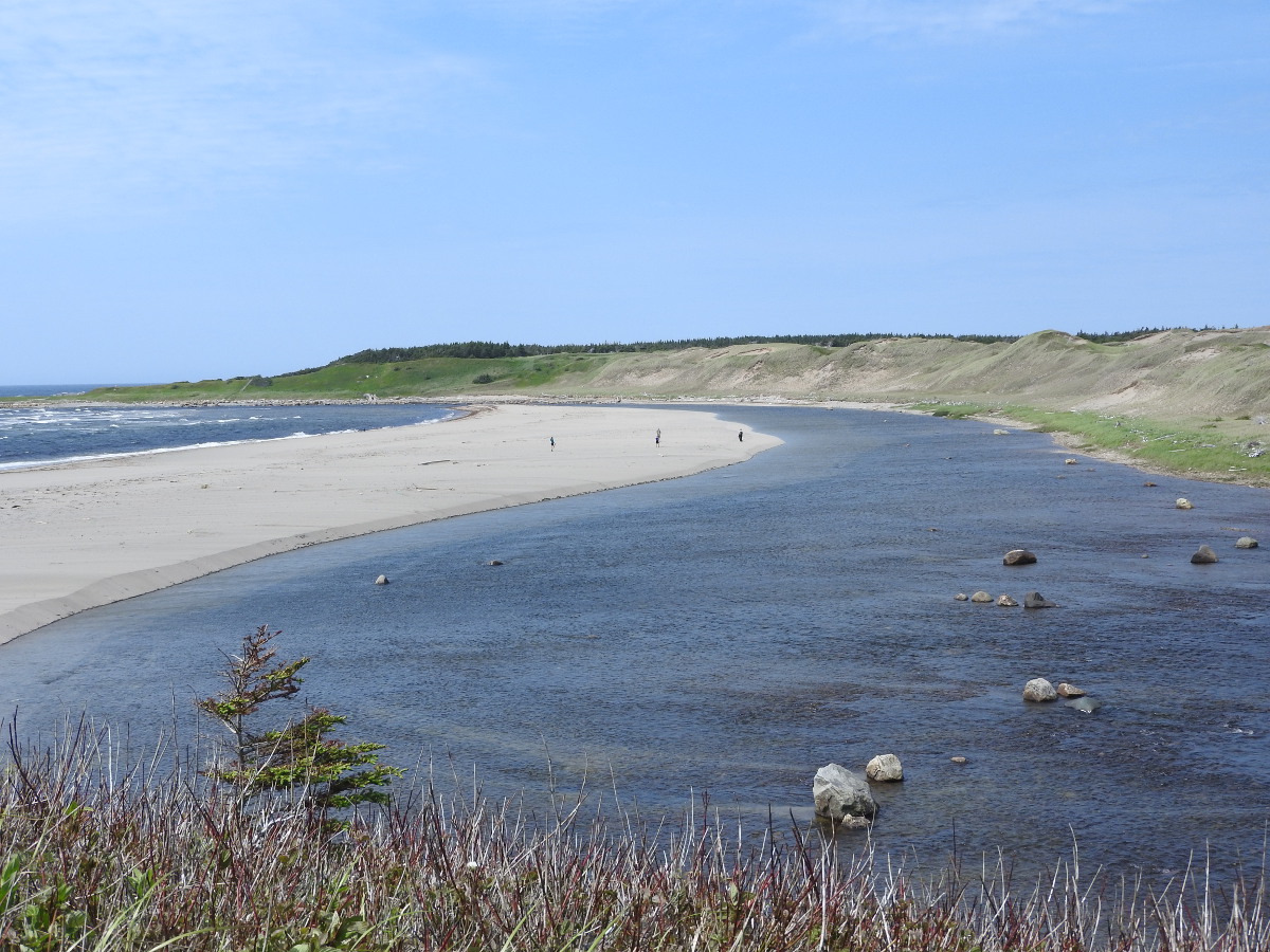
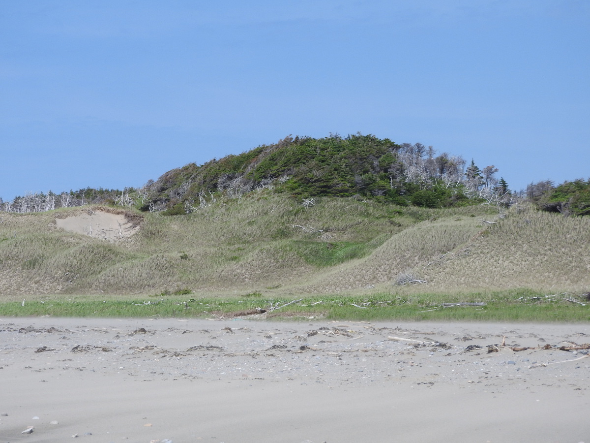
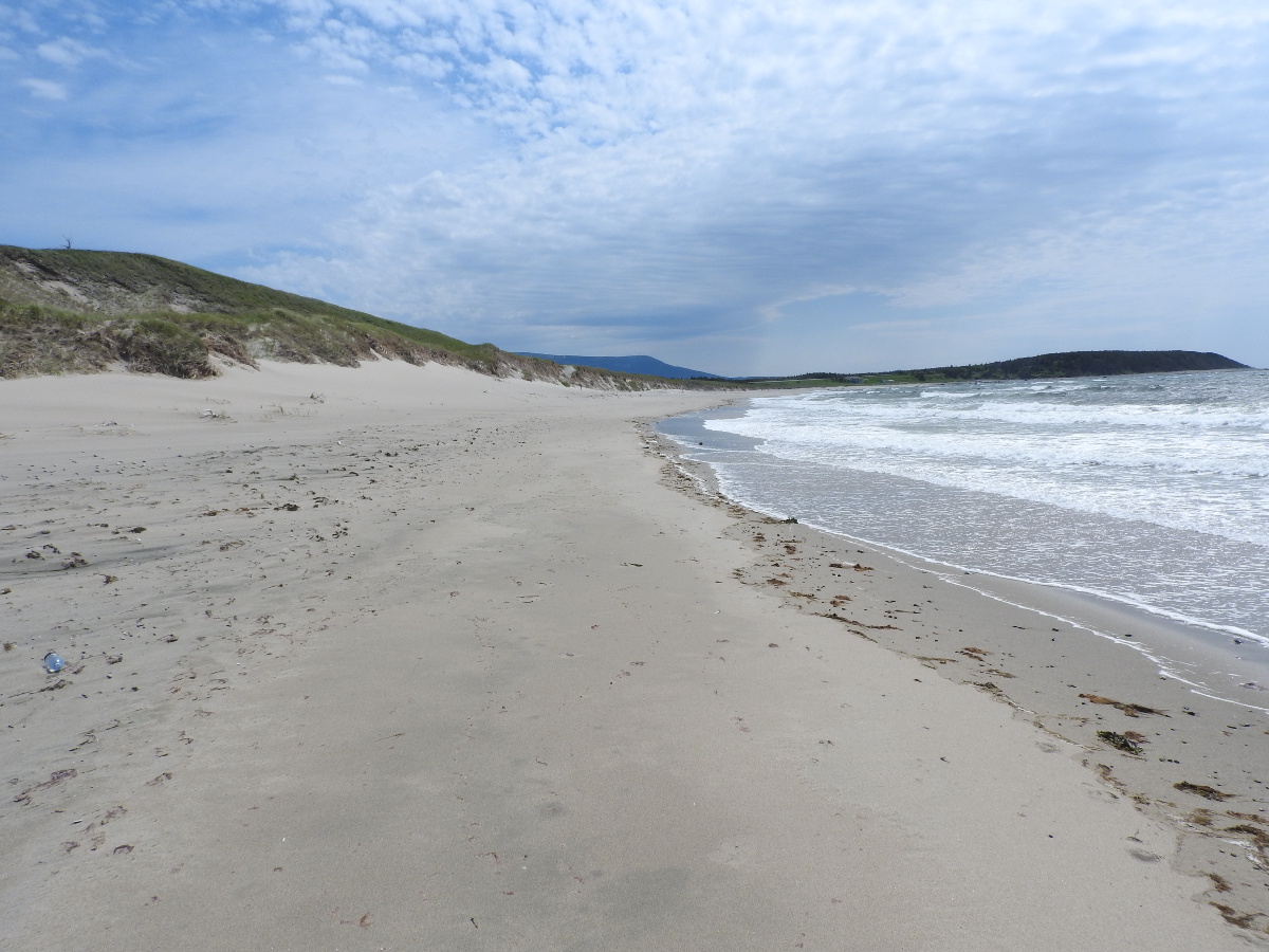
It can be quite windy when you get out to the beach. The wind sculpts the sand, the dunes and the tuckamores (stunted trees that are bent by the steady winds). From the beach you can see over to Steve's Trail, which comes into the same area from the Broom Point parking area.
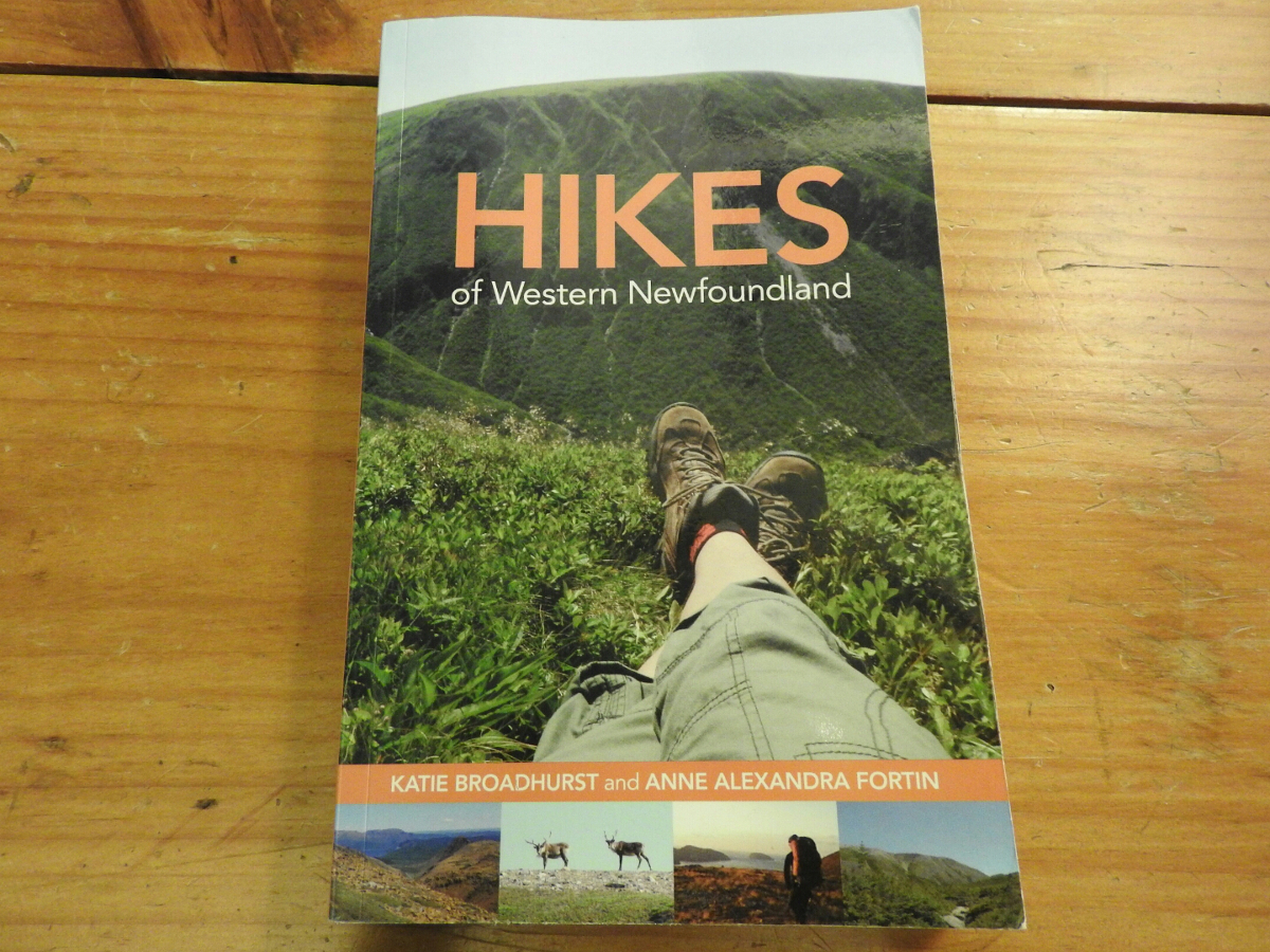
Hikes of Western Newfoundland by Katie Broadhurst and Alexandra Fortin is an excellent guide if you like to do trails. The book covers Western and Central Newfoundland as far east as Twillingate. They don't cover every trail, that's almost impossible. You'll find information on a good range of trails that you should consider.
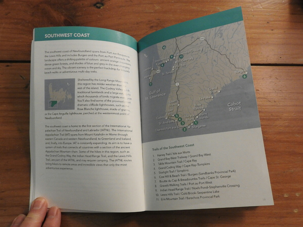
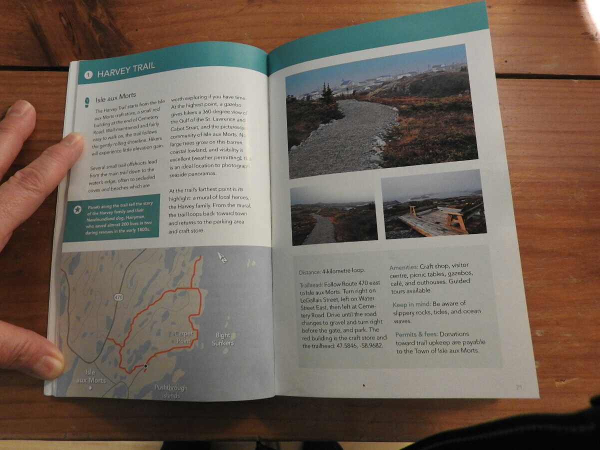
You start with the area map where they show the trails that are covered by the book. The pages about each trail include GPS co-ordinates of the trailhead and a good map of the trail. They also tell you the level of difficulty and distances.
We bought a copy ahead of our June 2015 trip to scout out the trails we wanted to do ahead of time. The book is available on Amazon and you can purchase it through this link.