(click here to find Steve's Trail on the map)
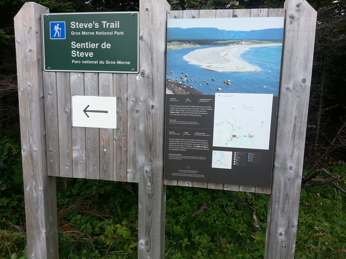
Steve's Trail, a part of the Broom Point Fishing Premises in Gross Morne National Park, is on the Gulf of St. Lawrence. The entrance for Broom Point is off Route 430 between Western Brook Pond and St. Pauls.
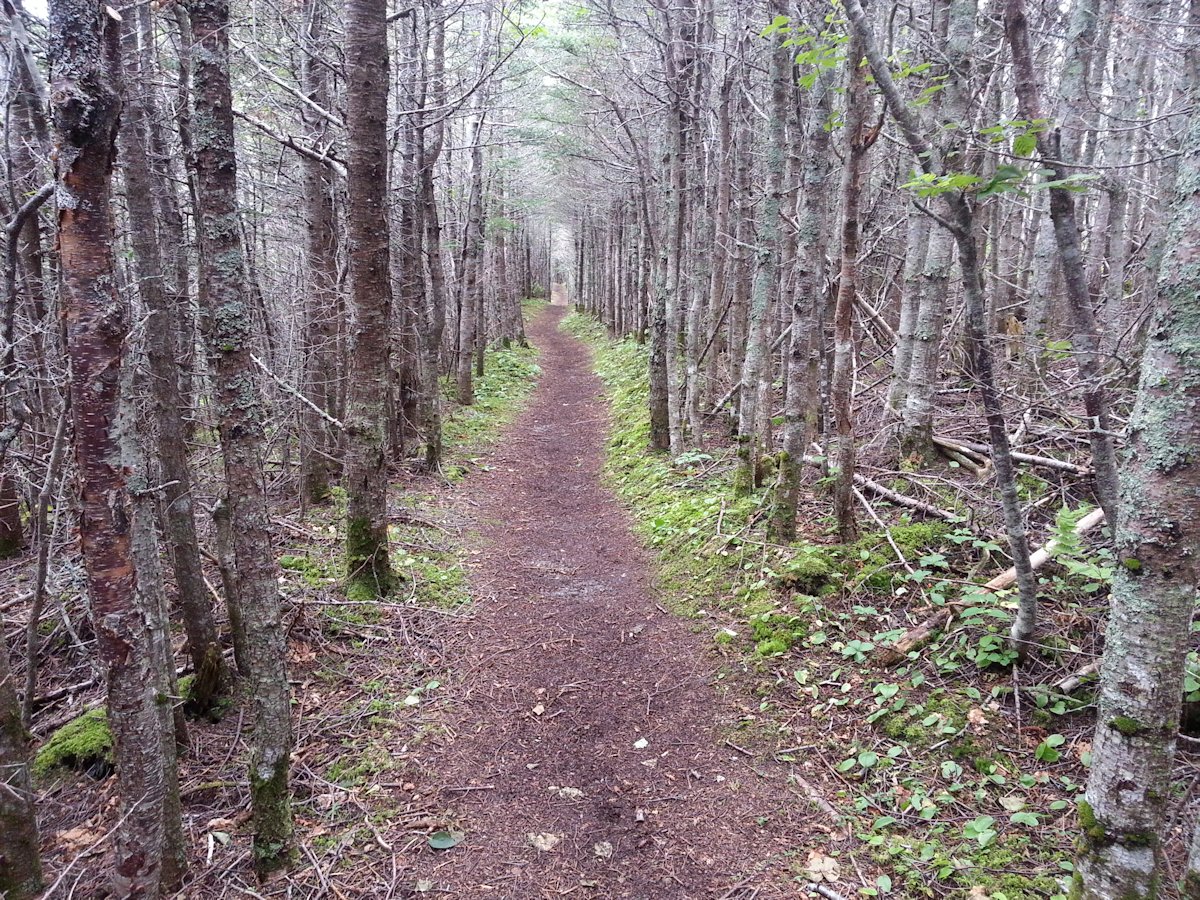
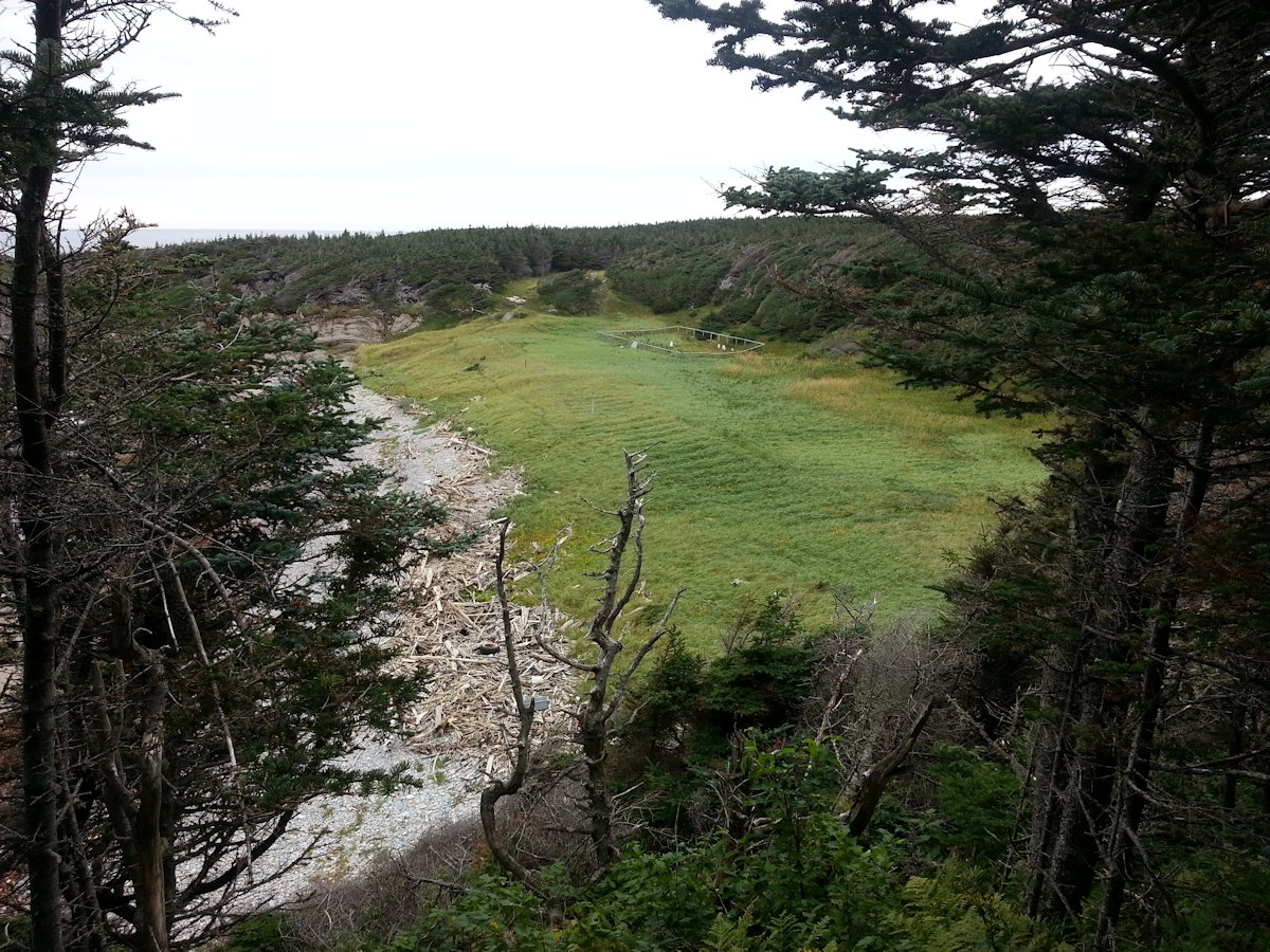
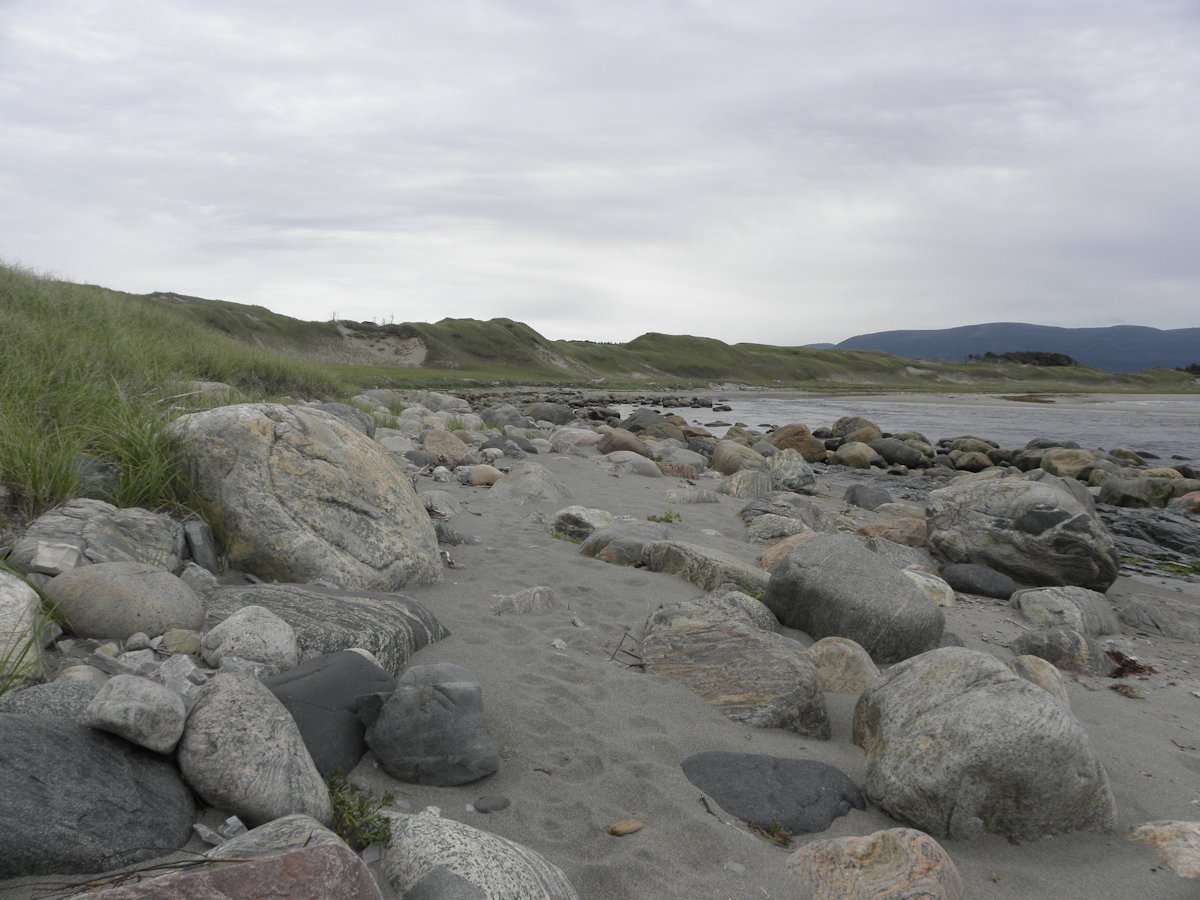
Steve's Trail is simply named after the local guy who used this path to get down to his fishing premises. It starts at the main parking lot for Broom Point and cuts through the forest to reach the beach on the south side of Broom Point. As you are going through the forest you will see through the tree openings on your right a small cemetery in a clearing down by the beach. The path is very easy to navigate and opens up to a meadow that you cross to reach the top of the ridge. From here a set of stairs take you down to the beach area.
(click photos to enlarge, click caption for mapped location)
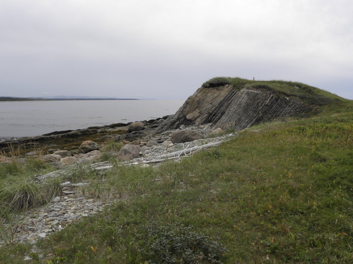
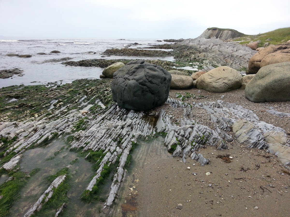
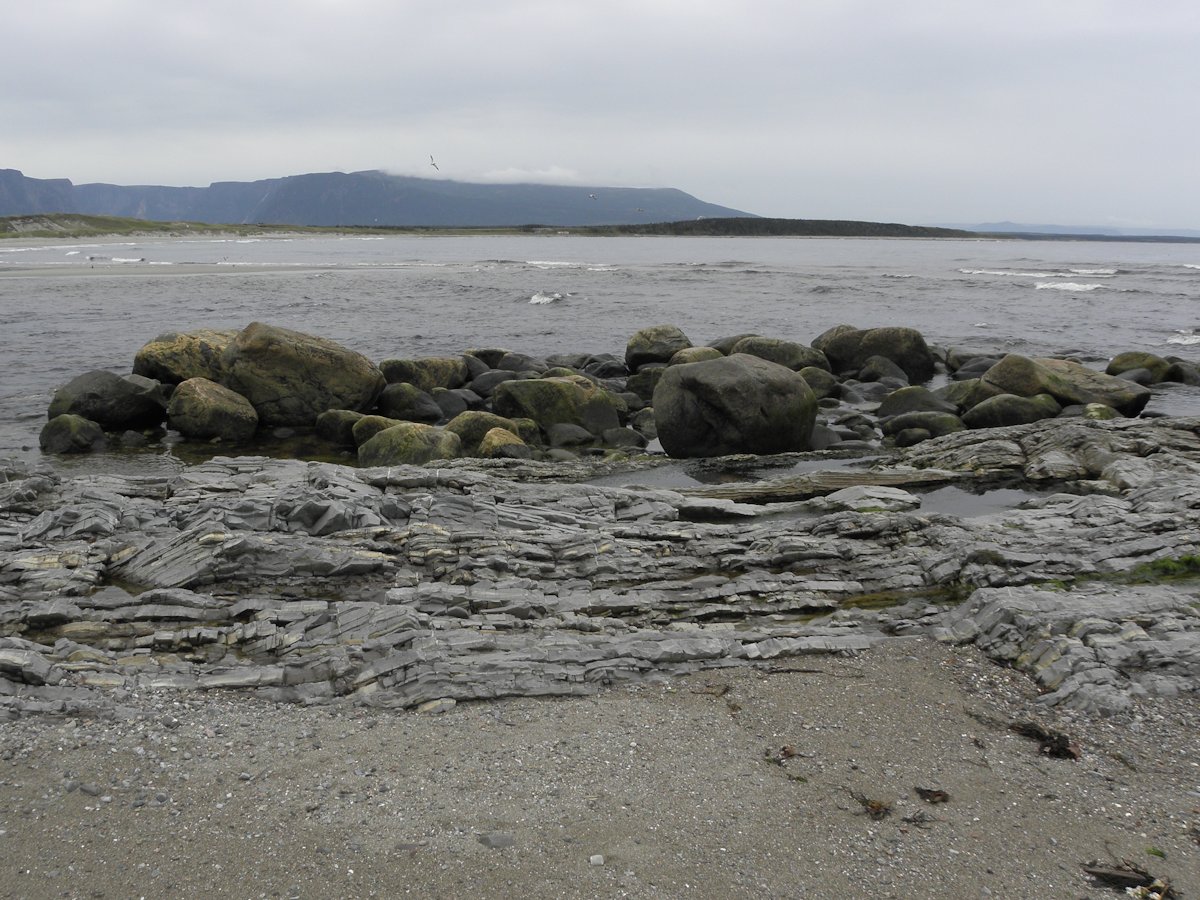
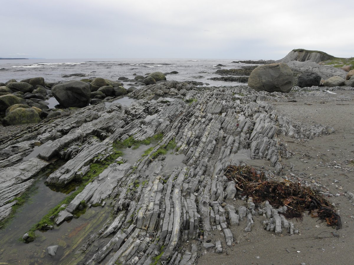
From the ridge you can see the mouth where Western Brook Pond empties into the Gulf of St. Lawrence. It has created a large sandbar that protects the original exit. Other neat features are the rocks here, where you can see further examples of the geological formations that you see at Green Point. Low tide will give you the best views of these formations. The vantage point from the ridge also lets you see the Long Range Mountains that are a defining feature of Gros Morne National Park.
(click photos to enlarge, click caption for mapped location)
(click photos to enlarge, click caption for mapped location)
Along the top of the ridge you can walk along towards the right. Unfortunately you can not continue along here to finally reach Broom Point. We tried that, the path petered out.
Hikes of Western Newfoundland by Katie Broadhurst and Alexandra Fortin is an excellent guide if you like to do trails. The book covers Western and Central Newfoundland as far east as Twillingate. They don't cover every trail, that's almost impossible. You'll find information on a good range of trails that you should consider.
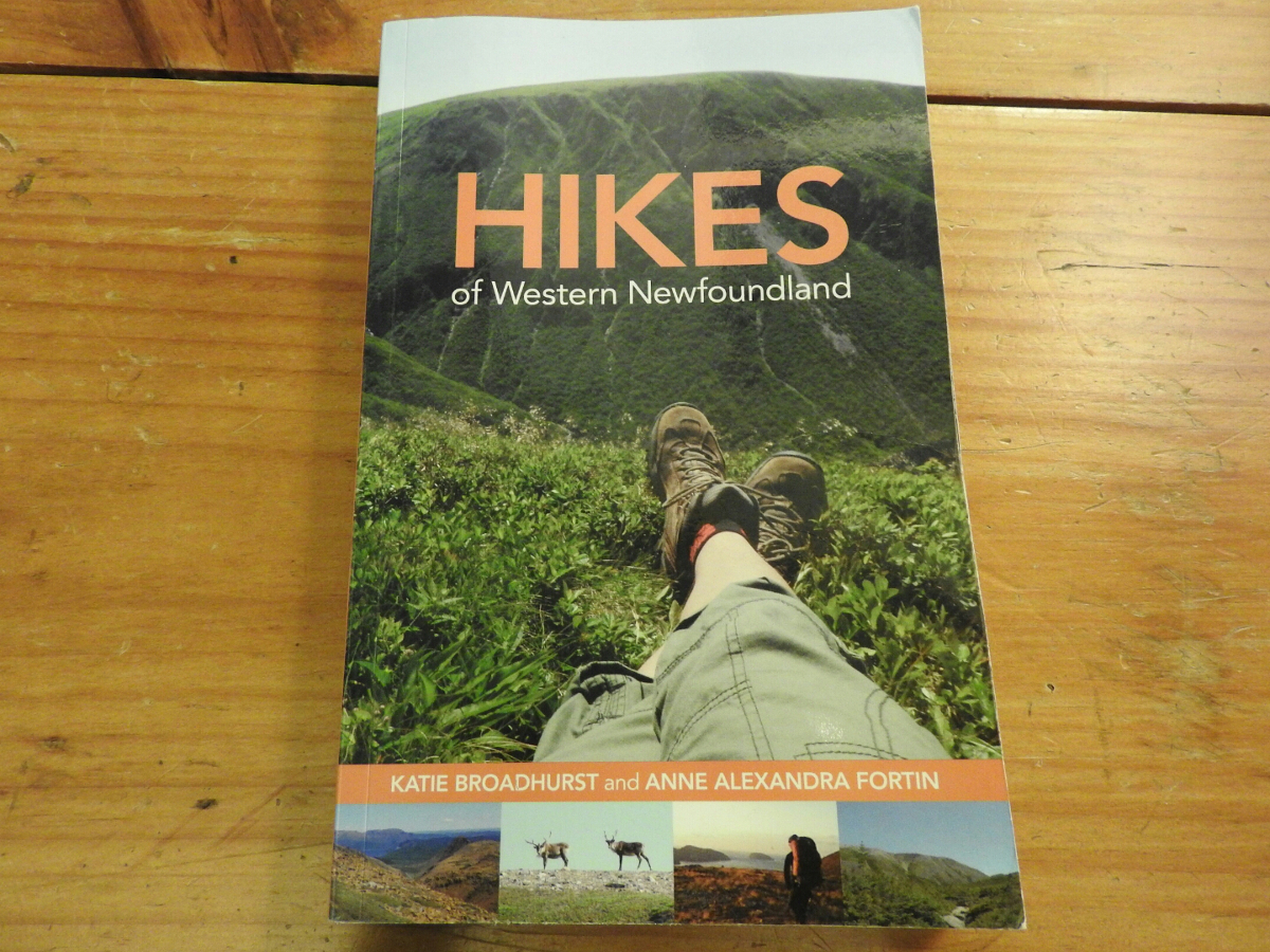
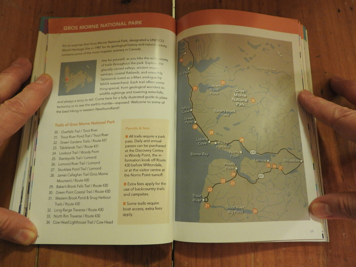
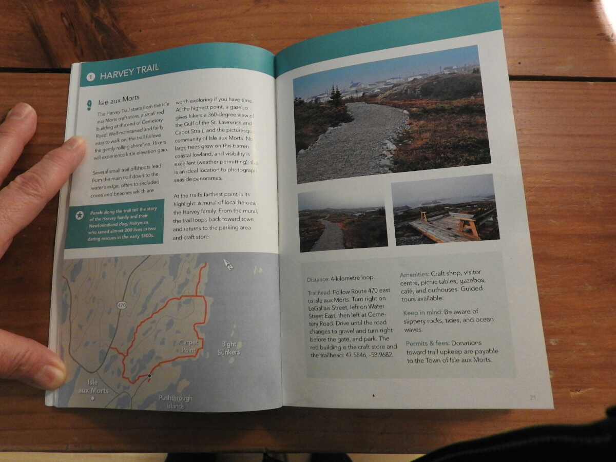
You start with the area map where they show the trails that are covered by the book. The pages about each trail include GPS co-ordinates of the trailhead and a good map of the trail. They also tell you the level of difficulty and distances.
We bought a copy ahead of our June 2015 trip to scout out the trails we wanted to do ahead of time. The book is available on Amazon and you can purchase it through this link.