(click here to find location on the map)


(click photos to enlarge, click caption for mapped location)
To reach Green Point you will take Route 430 north through Gros Morne National Park. Green Point is between Rocky Harbour and Sally's Cove. Coming from the south the first sign you will see is for the Green Point campground. Drive past a stones throw and there is a second lane on the left side simply marked Green Point. Follow the gravel road and park at the parking lot you come to. While the road continues through down to the shore it is a private access at this point.
From the parking lot you have two options. One is to take the marked trail across the field to the stairs that will take you down to the rock face. Your other choice is to walk down the gravel road to the beach and follow it to your right. At the bottom of the hill you will have come to a very small summer fishing community. As you head to the site you will come to the stairs that will take you to the top of the bluff.


(click photos to enlarge, click caption for mapped location)

(click photos to enlarge, click caption for mapped location)
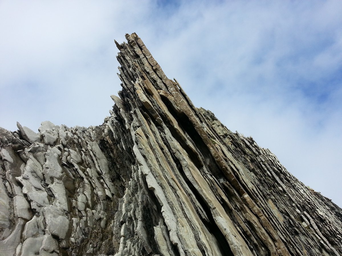
The rock face you are looking at extends to the north. You want to go at low tide. It allows you to access the site and also view the rock formations that lie just under the water at high tide. You can see how the stone layers run from the cliff face into the water. In 2000, Green Point was designated as an official international reference point for the world's geologic time scale. It was in contention with 6 other sites around the world. You are looking back in time approx 500 million years ago.


(click photos to enlarge, click caption for mapped location)


(click photos to enlarge, click caption for mapped location)
When you take the stairs up to the level of the parking lot you can take the trail north along the top of the bluff. Low tide gives you a great view of the rock formations extending out into the water. If you then look north you are able to see more of the formations around the point.


While walking trails we often find ourselves wondering how the various interesting formations came about. Our understanding of geology is pretty limited. We purchased a great book titled 'Geology of Newfoundland' by Martha Hickman Hild.
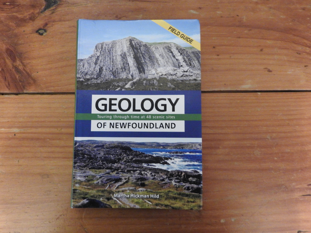
The book has GPS co-ordinates, photos and descriptions of 48 sites across the island. The level of information will satisfy serious rock hounds. In our case, we are able to glean enough to satisfy our curiosity. We keep the book in the truck, it does not matter what part of the island you are visiting, there will be an interesting site nearby.
We bought a copy ahead of our September 2015 trip to scout out sites we wanted to explore. The book is available on Amazon and you can purchase it through this link.
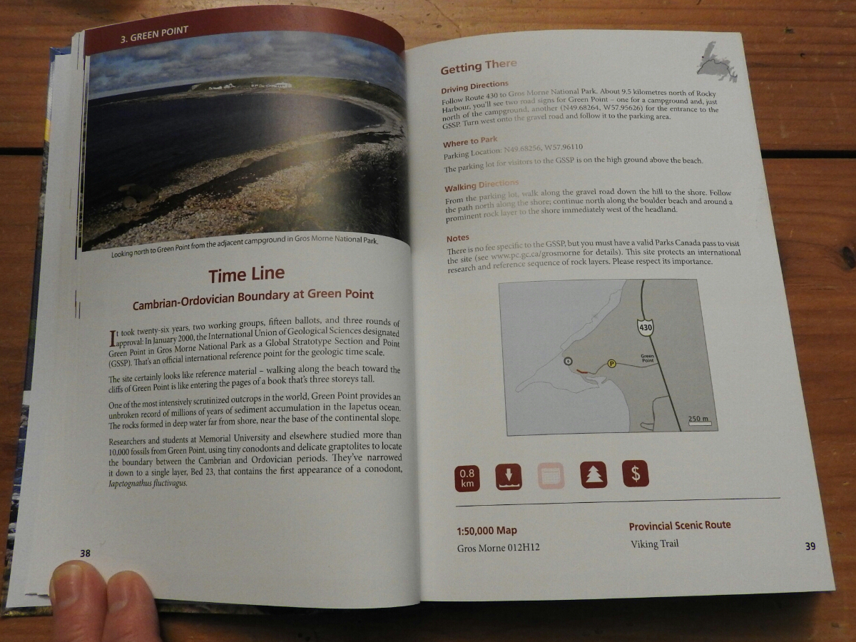
In 2000, the global stratype for the boundary between the Cambrian and Ordovician systems was designated here at Green Point by the International Commission of Stratigraphy. It is located within a bed of shale and limestone (Bed 23) exposed in the southwest facing cliff and shore platform. The level is marked by the first appearance of the conodont fossil lapetognathus fluctivagus, 4.8 metres below the oldest known planktic graptolite fossils.