(click here to find Baker's Brook Falls Trail on the map)
Baker's Brook Falls is in Gros Morne National Park at the end of a 4.5 km trail. The trails starts at the Berry Hill Campground, which is very close to Rocky Harbour. There is a paved road into the campground from the Viking Trail. The campground has a gate you need to stop at. Just tell them you are going to do the trail and they'll give you directions to the trail parking area.
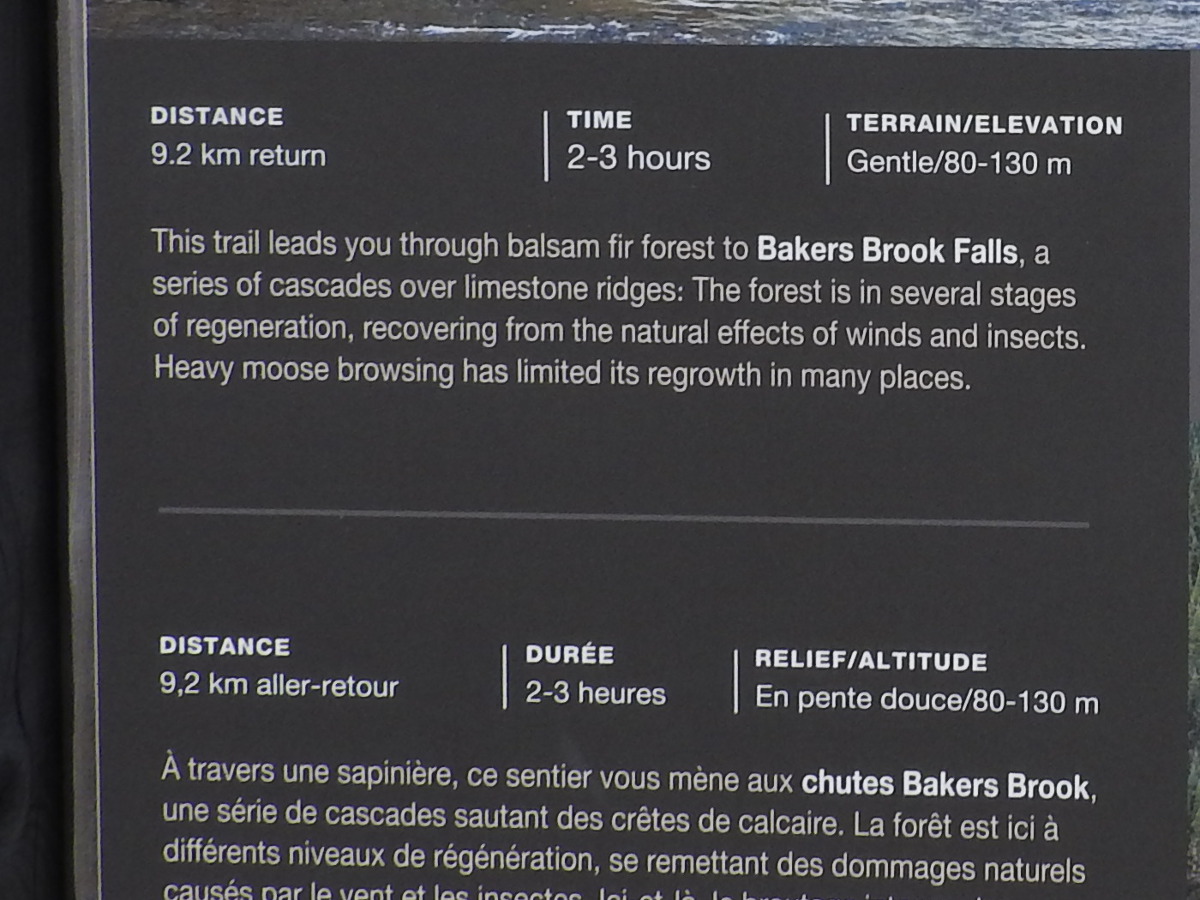
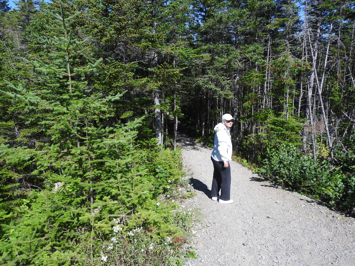
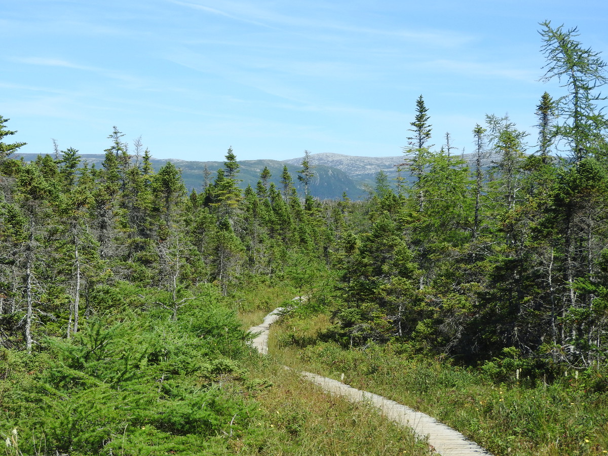
The trail sign says 2-3 hours. We took 4 hours. Most of the trail is easy walking on a boardwalk. The 500 metre section at the end is the most difficult. We took the Little Pond Loop on our return hike. This increases your distance to about 10 km. That section of the trail gives you some nicer views of the mountains, particularly Gros Morne.
(click photos to enlarge)
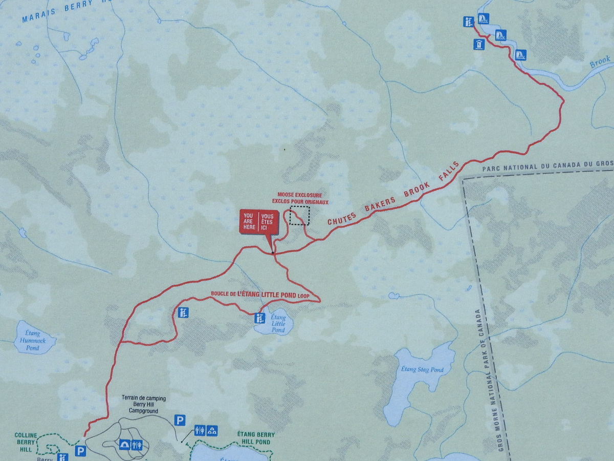
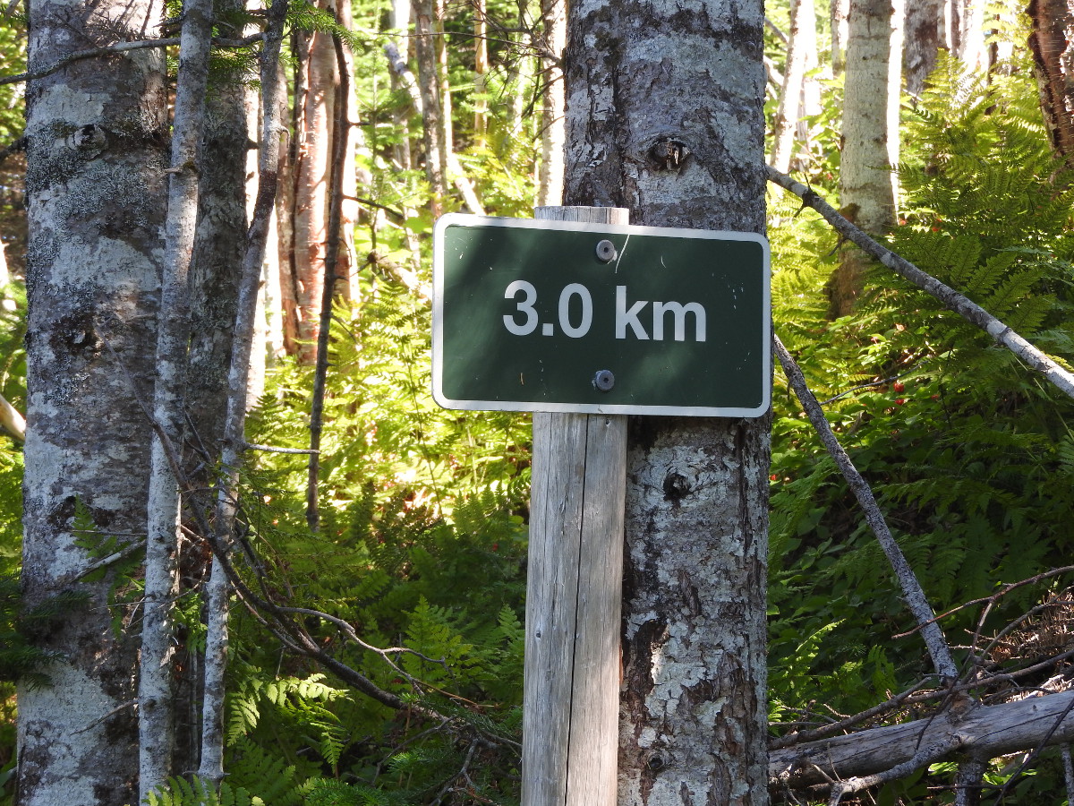
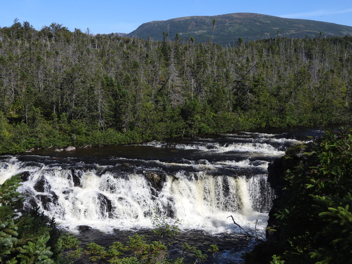
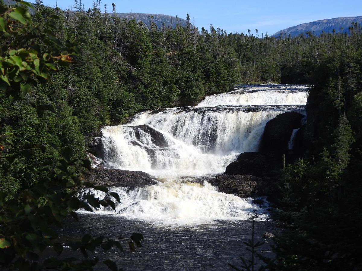
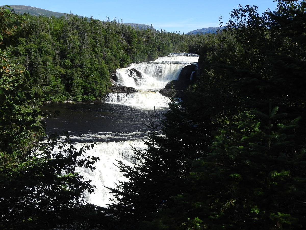
The trail has distance markers, so you have a good idea where you are. There are actually 3 waterfalls. Each has its' own viewing area. The first falls you come to is the smallest. The middle falls is the most impressive. There is a steep stairway to get to a viewing area. Continue on to the lower falls. From that viewing point you can see both the lower and middle falls.
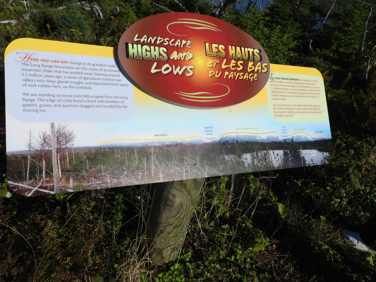
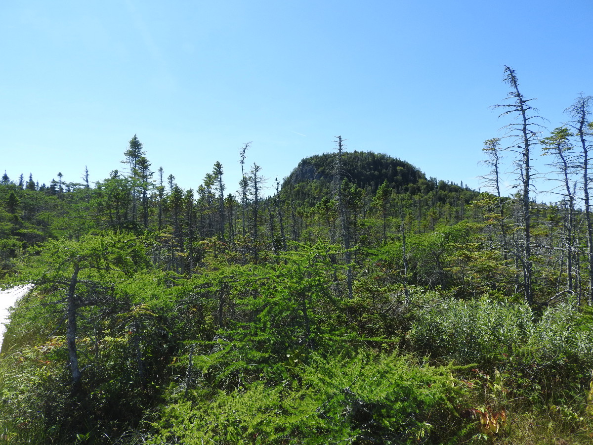
On the return loop, you are taken quite a ways off the main trail. Little Pond is very pretty. The sign above is a great way to orient yourself. You can identify Gros Morne Mountain, The Rocky Harbour Hills and Big Level.
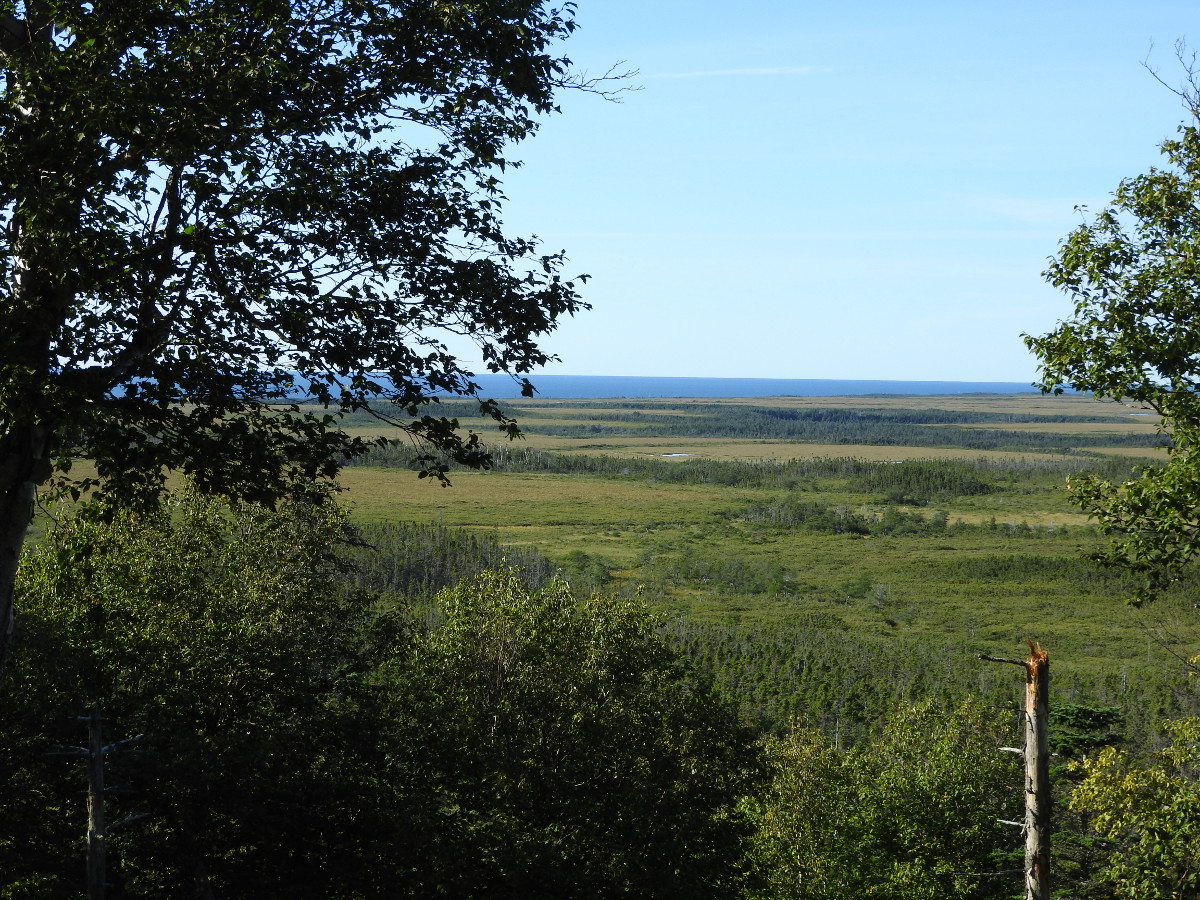
The trail is between 80 and 130 metres above sea level. There are places where you get a nice view of the coastal plain and the Gulf of St. Lawrence.
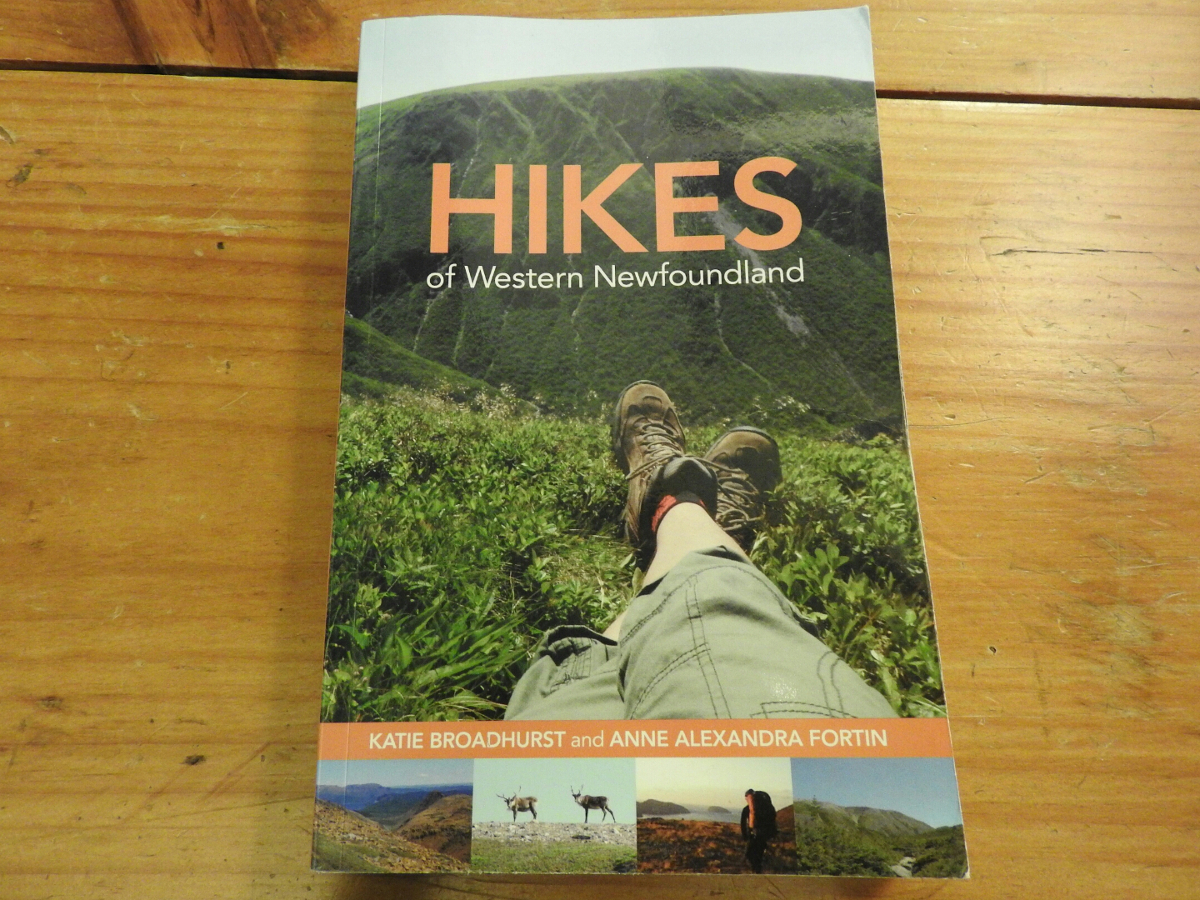
Hikes of Western Newfoundland by Katie Broadhurst and Alexandra Fortin is an excellent guide if you like to do trails. The book covers Western and Central Newfoundland as far east as Twillingate. They don't cover every trail, that's almost impossible. You'll find information on a good range of trails that you should consider.
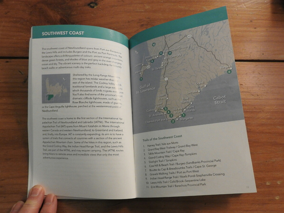
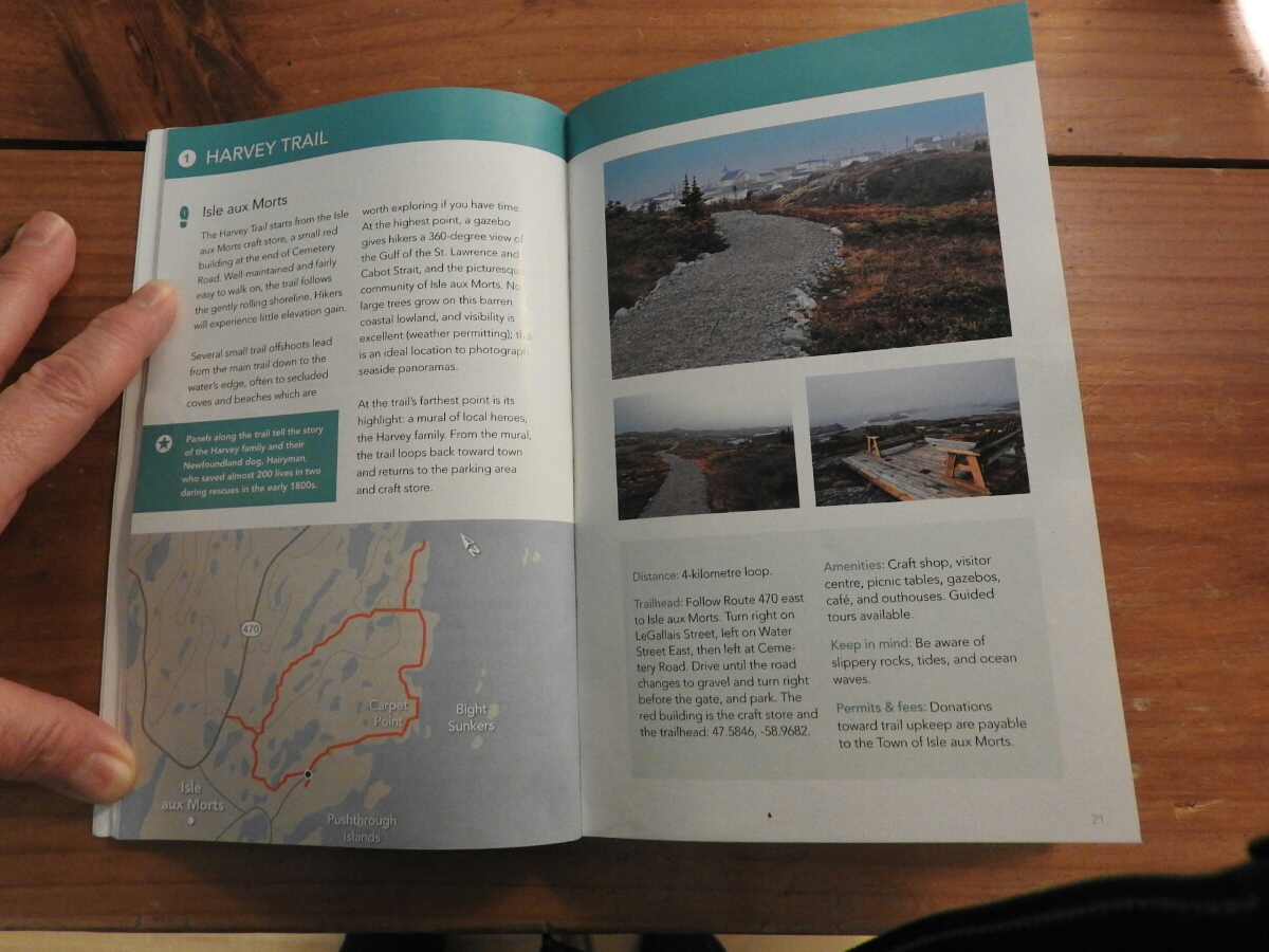
You start with the area map where they show the trails that are covered by the book. The pages about each trail include GPS co-ordinates of the trailhead and a good map of the trail. They also tell you the level of difficulty and distances.
We bought a copy ahead of our June 2015 trip to scout out the trails we wanted to do ahead of time. The book is available on Amazon and you can purchase it through this link.