(click here to find Lighthouse Old Man Trail on the map)
(click photos to enlarge)
To reach Trout River you will take Route 431, also called Bonne Bay Road, which branches off the Viking Trail (Route 430) at Wiltondale. You will be travelling in a westerly direction. This is a very pretty drive, lots of hills and sharp turns, and if it is a clear day you can see the Tablelands off in the distance. As you approach Glenburnie the road will begin to follow the south arm of Bonne Bay. Just past Shoal Brook you will turn left to continue on Route 431 to Trout River. This will take you by the Gros Morne Park Interpretation Centre at the top of a steep hill. The Interpretation Centre is a great stop.
The drive now takes you through the Tablelands. No one should miss seeing this area. This part of the drive takes about 30 minutes. The tall markers at the side of the road are for the snowplows in the winter so that they can find the road. Warning lights tell a traveller whether or not they can even use the road certain days during the winter.
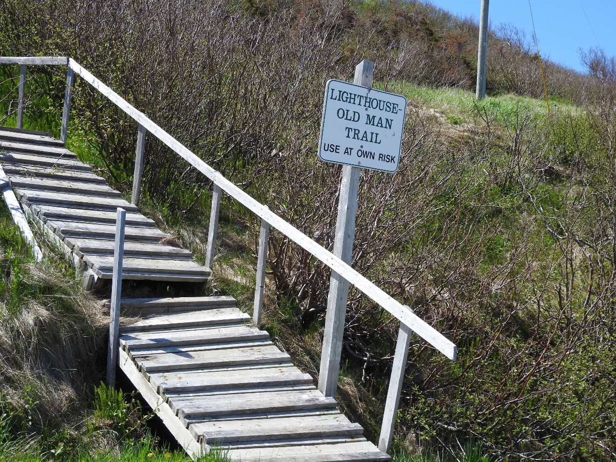
Route 431 takes you right into Trout River. It ends at Main Street where you will go to your right. Continue past the school till you come to a single lane bridge. Cross the bridge and just a little ways up the trail head will show on your left. There is no designated parking, just tuck yourself in at the side of the road.
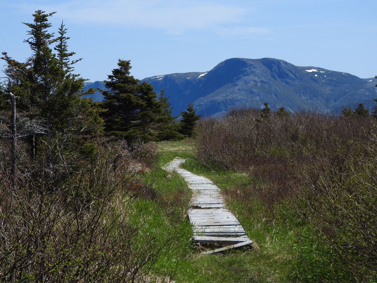
The first part of the trail is steep. As of Spring 2017 the existing stairs were in serious need of repair. Use at your own risk. Once you get past this section you are on top of a bluff that overlooks Trout River from the south. There is very little elevation change once you have reached this point.
(click photos to enlarge, click caption for mapped location)
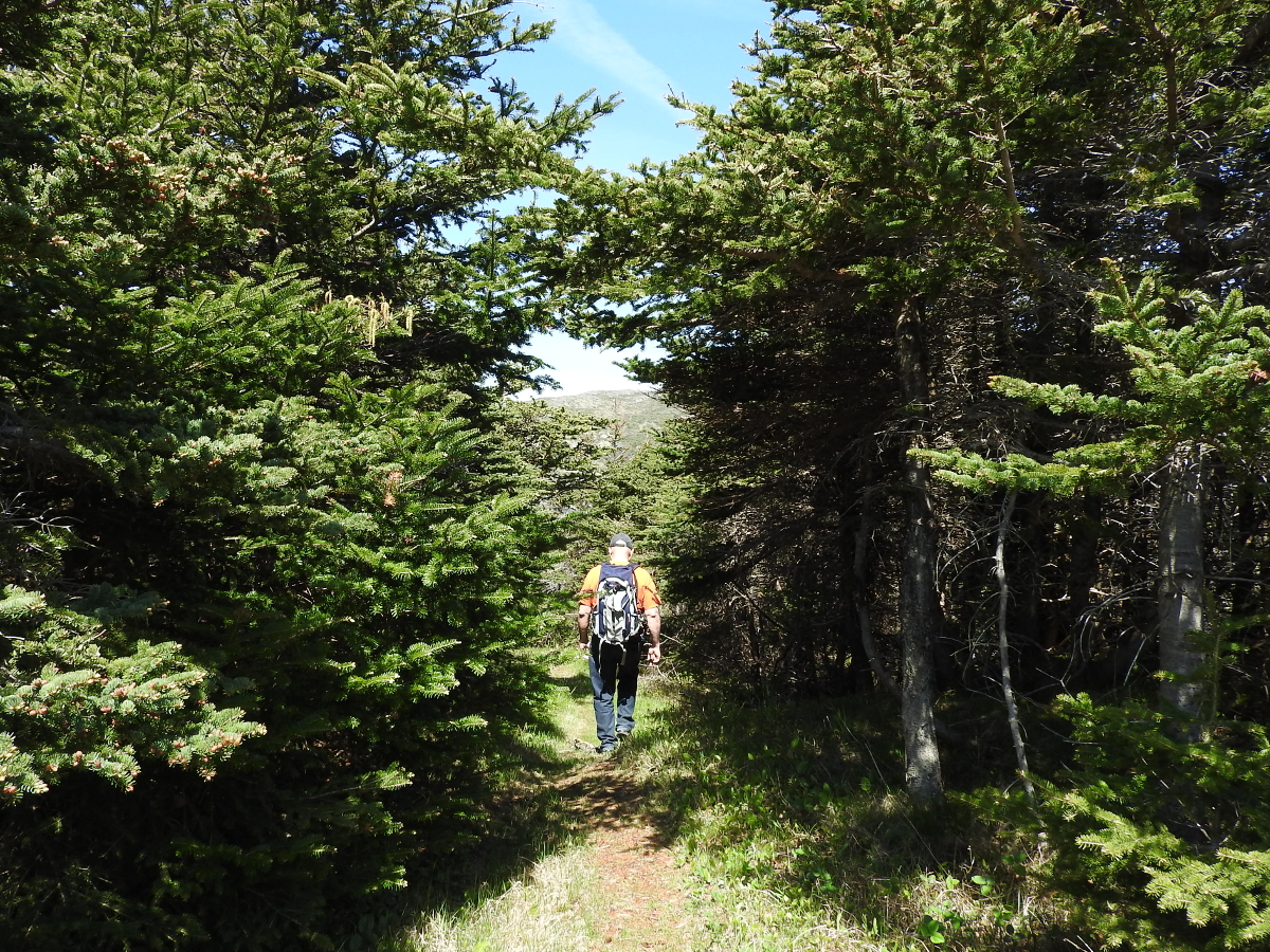
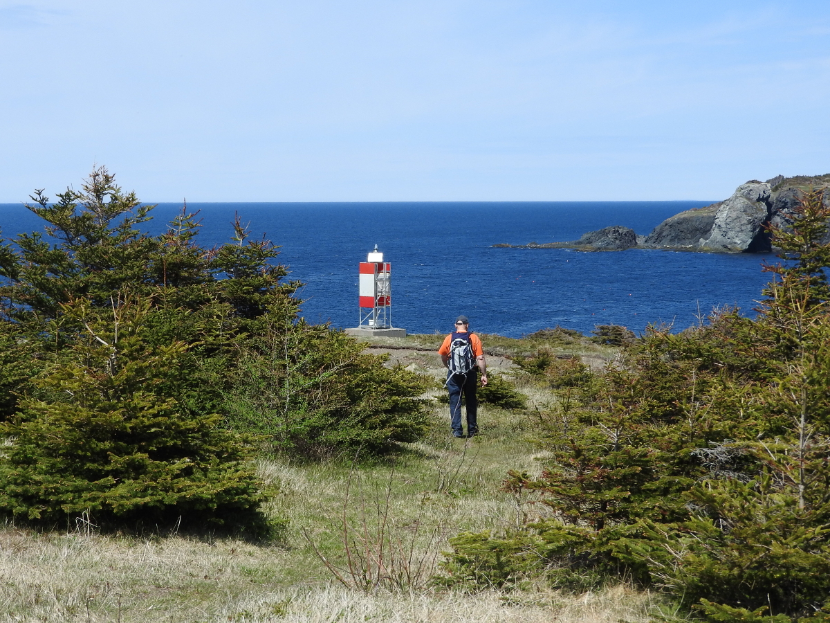
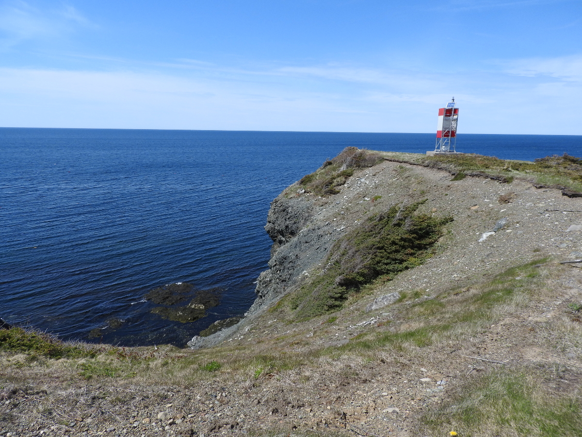
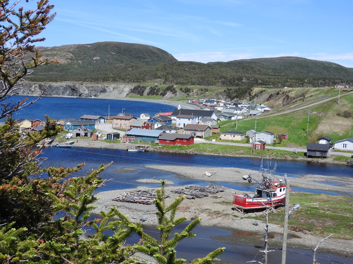
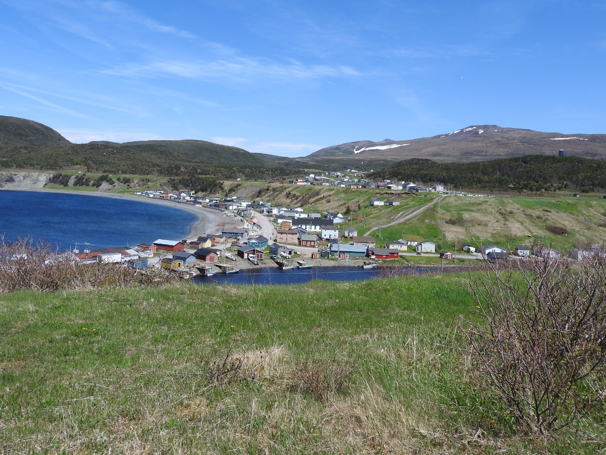
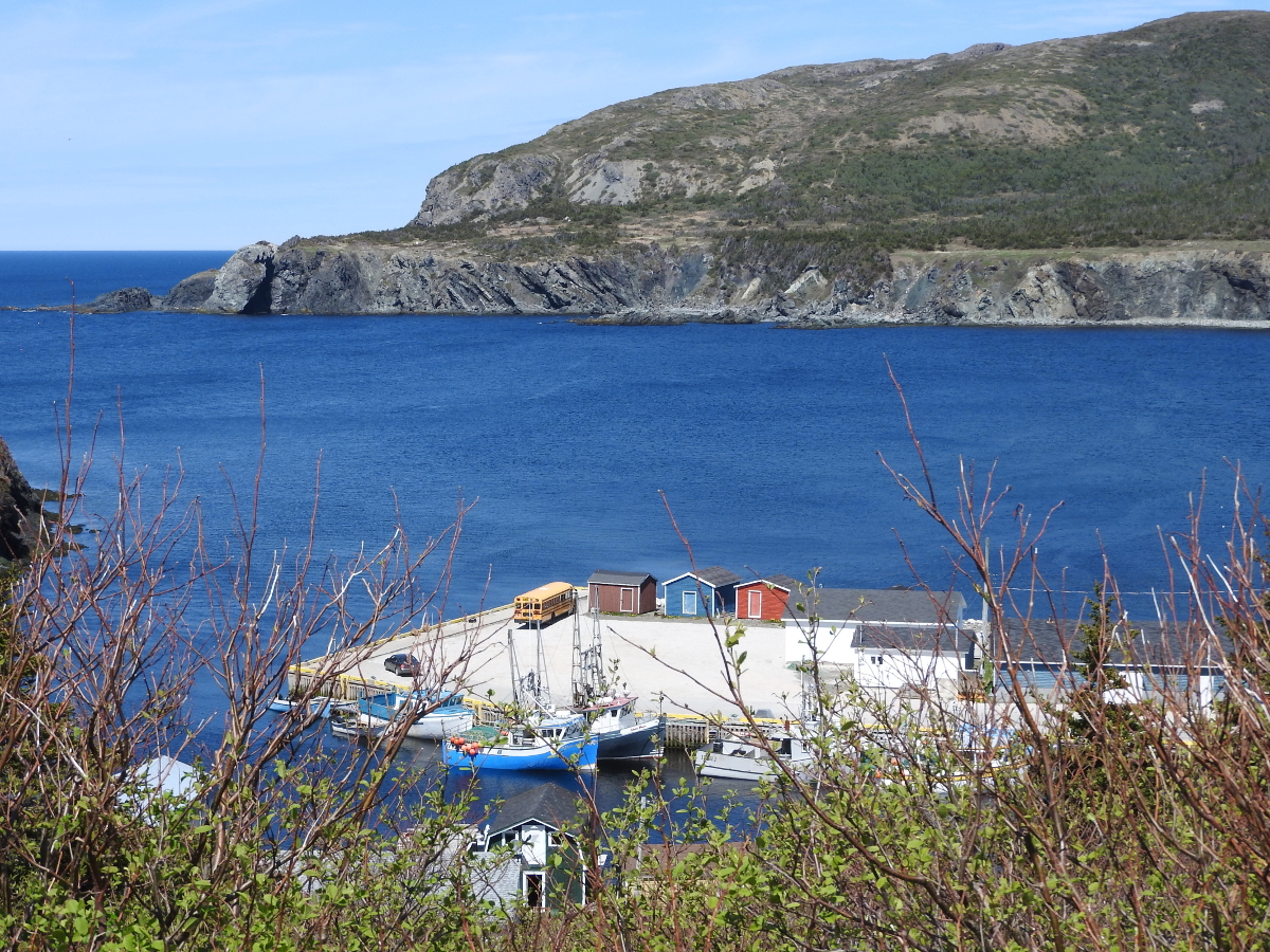
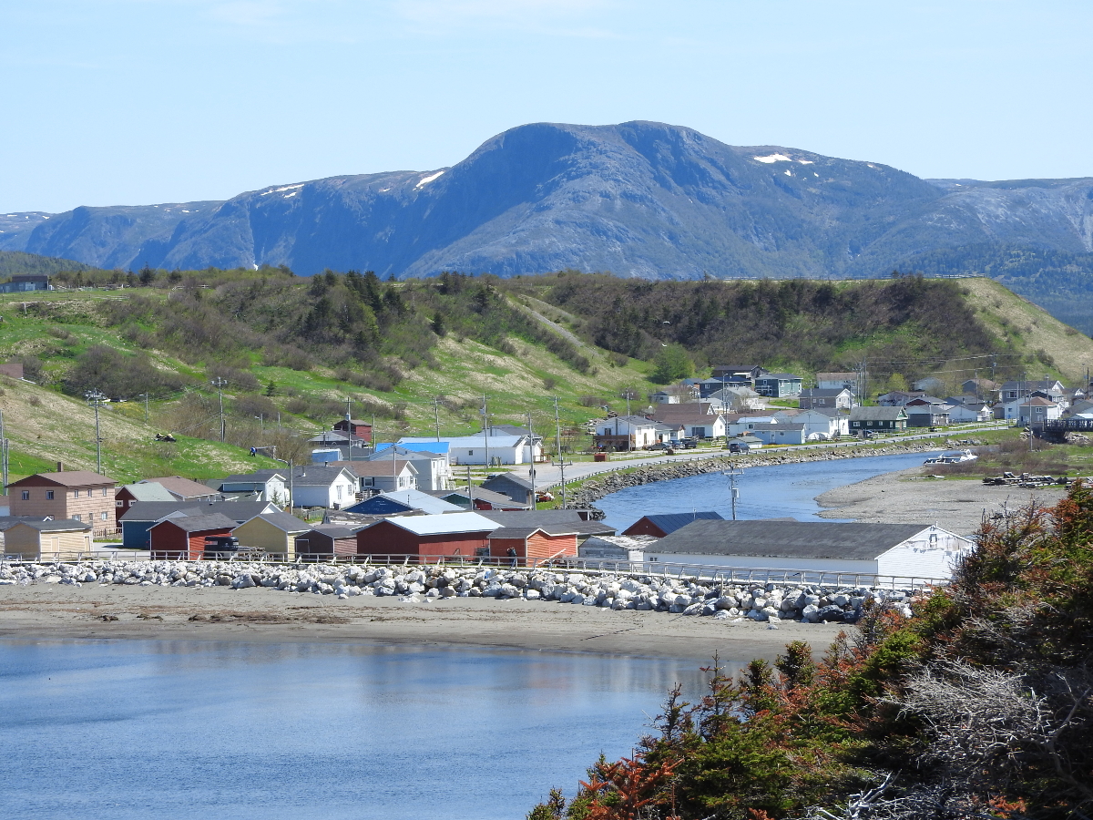
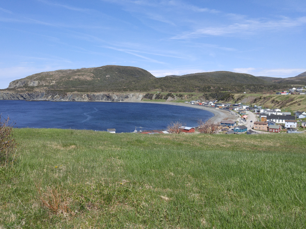
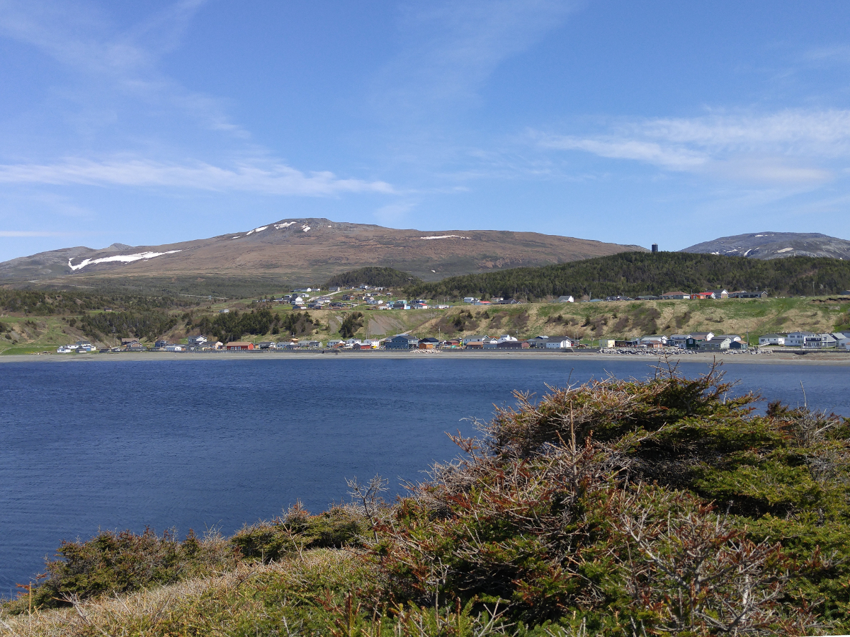
From this upper elevation you can see the layout of the town. The main part of the community wraps around the inlet. There is a second road at the top of the ridge. Behind the town you are able to see the Tablelands. As you walk out to the "lighthouse" keep a safe distance from the edge. Many of these are undercut by erosion and unstable.
Hikes of Western Newfoundland by Katie Broadhurst and Alexandra Fortin is an excellent guide if you like to do trails. The book covers Western and Central Newfoundland as far east as Twillingate. They don't cover every trail, that's almost impossible. You'll find information on a good range of trails that you should consider.
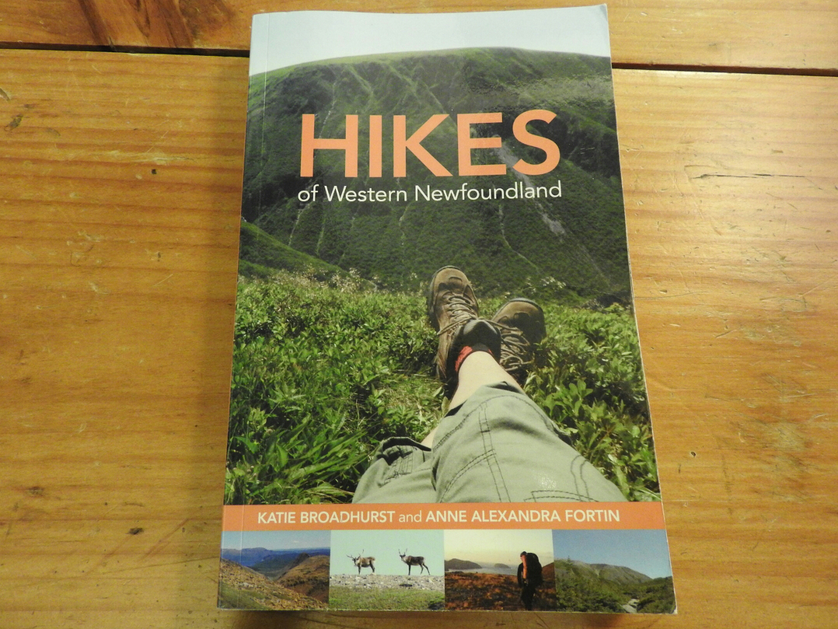
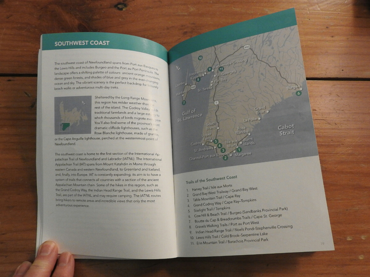
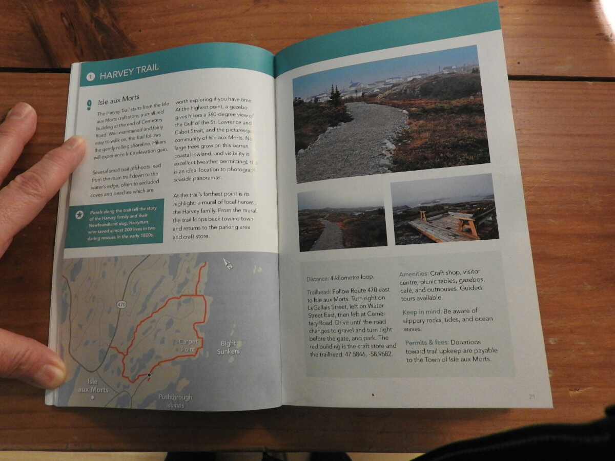
You start with the area map where they show the trails that are covered by the book. The pages about each trail include GPS co-ordinates of the trailhead and a good map of the trail. They also tell you the level of difficulty and distances.
We bought a copy ahead of our June 2015 trip to scout out the trails we wanted to do ahead of time. The book is available on Amazon and you can purchase it through this link.